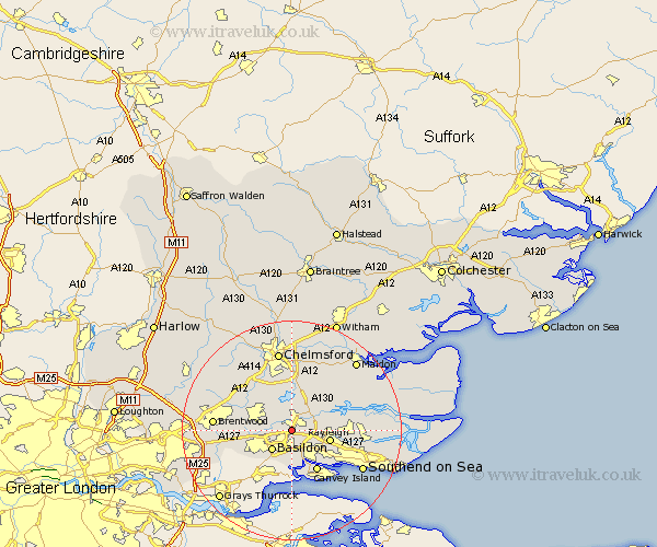
Essex Map Showing Location of Wickford
Population: 25695
Area Size (ha): 643
District: Basildon
Easting: 574276 Northing: 192070
Latitude: 51.6 Longitude: 0.52
 = Wickford
Area Size (ha): 643
District: Basildon
Easting: 574276 Northing: 192070
Latitude: 51.6 Longitude: 0.52
= Wickford
This Wickford map below is supplied by Google. Use the tools in the top left corner to zoom into street level or zoom out for a road map, you may also need to zoom in to see Wickford on the map. Click and drag the map to move around. If the map fails to load try and refresh your browser or zoom in or out (+ or -).
Update - it seems Google no longer allow people to use their maps for free! This Wickford map sometimes loads and sometimes gives a error. I am working on a solution.
Closest 30 Towns or Cities to Wickford (Population over 500)
Rawreth 3.45km South Hanningfield 3.7km Ramsden Heath 4.96km Basildon 5.06km West Hanningfield 5.68km Rettendon 6.02km Billericay 7.15km Great Burstead 7.15km Rayleigh 7.15km East Hanningfield 7.77km Benfleet 7.77km South Benfleet 7.77km Stock 8km Woodham Ferrers 8km Canvey Island 8.73km Hockley 9.4km Corringham 10.02km Bickacre 10.34km Bicknacre 10.34km Hawkwell 10.53km Great Baddow 11.18km Margaretting 11.55km Galleywood 11.64km Danbury 11.64km Leigh on Sea 11.76km Leigh-on-Sea 11.76km Leigh 11.76km Ingatestone 11.82km Purleigh 11.82km Mountnessing 12.09km