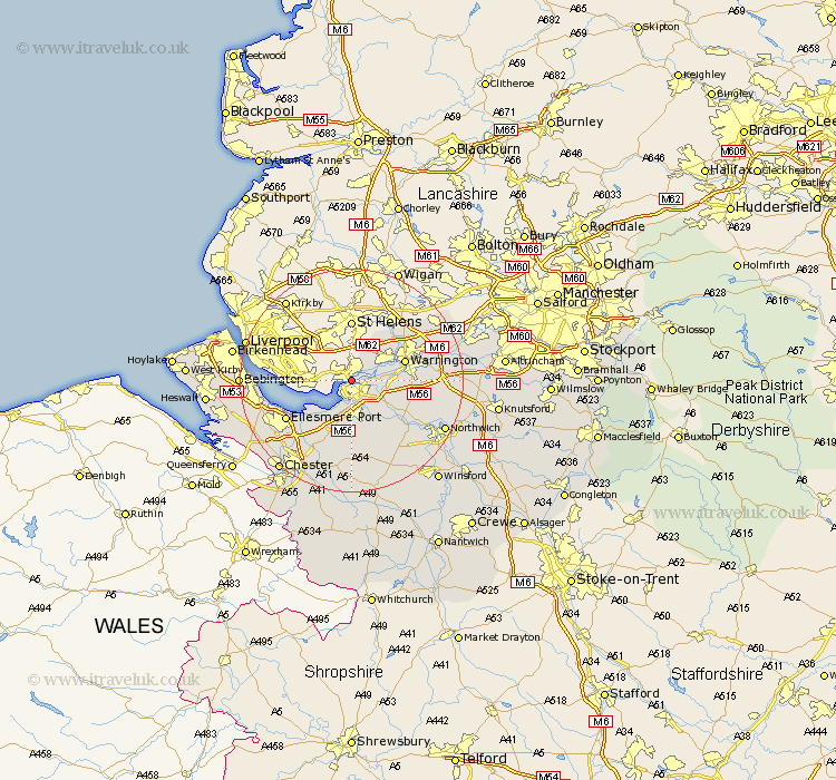
Cheshire Map Showing Location of Widnes
Population: 56090
Area Size (ha): 1460
Easting: 351189 Northing: 383959
Latitude: 53.35 Longitude: -2.73
 = Widnes
Area Size (ha): 1460
Easting: 351189 Northing: 383959
Latitude: 53.35 Longitude: -2.73
= Widnes
This Widnes map below is supplied by Google. Use the tools in the top left corner to zoom into street level or zoom out for a road map, you may also need to zoom in to see Widnes on the map. Click and drag the map to move around. If the map fails to load try and refresh your browser or zoom in or out (+ or -).
Update - it seems Google no longer allow people to use their maps for free! This Widnes map sometimes loads and sometimes gives a error. I am working on a solution.
Closest 30 Towns or Cities to Widnes (Population over 500)
Runcorn 2.16km Weston 3.7km Halton 4.31km Hale 4.8km Frodsham 5.56km Preston Brook 6.66km Preston on the Hill 6.66km Preston-on-the-Hill 6.66km Great Sankey 8.58km Sankey 8.58km Helsby 9.52km Warrington 9.59km Burtonwood 10.26km Kingsley 10.27km Stretton 11.22km Dunham-on-the-Hill 11.97km Dunham 11.97km Dunham on the Hill 11.97km Appleton 12.17km Elton 12.42km Winwick 12.81km Acton 12.82km Ellesmere Port 13.33km Ashton 14.82km Thelwall 14.84km Weaverham 14.93km Kelshall Hill 15.19km Kelsall Hill 15.19km Kelsall 15.19km Croft 15.28km