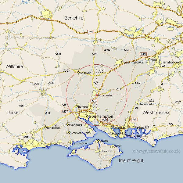
Hampshire Map Showing Location of Winchester
Population: 37282
Area Size (ha): 1086
District: Winchester
Easting: 447926 Northing: 124429
Latitude: 51.06 Longitude: -1.32
 = Winchester
Area Size (ha): 1086
District: Winchester
Easting: 447926 Northing: 124429
Latitude: 51.06 Longitude: -1.32
= Winchester
This Winchester map below is supplied by Google. Use the tools in the top left corner to zoom into street level or zoom out for a road map, you may also need to zoom in to see Winchester on the map. Click and drag the map to move around. If the map fails to load try and refresh your browser or zoom in or out (+ or -).
Update - it seems Google no longer allow people to use their maps for free! This Winchester map sometimes loads and sometimes gives a error. I am working on a solution.
Closest 30 Towns or Cities to Winchester (Population over 500)
Kings Worthy 3.18km Twyford 4.45km Compton 4.6km Sparsholt 4.79km Otterbourne 6.72km Owslebury 7.21km Hursley 7.33km Micheldever 9.21km Bishopstoke 10.08km Eastleigh 10.28km Wonston 10.37km Cheriton 10.51km New Alresford 10.89km Upham 11.58km Kings Somborne 11.7km Stockbridge 12.6km Barton Stacey 12.72km Durley 12.75km Michlemersh 13.08km Michelmersh 13.08km Chilbolton 13.19km Chilworth 13.77km Bishops Waltham 13.77km Bishop's Waltham 13.77km Bramdean 14.22km Romsey 15.2km Longparish 15.23km West End 15.61km Botley 15.96km Curdridge 16.26km