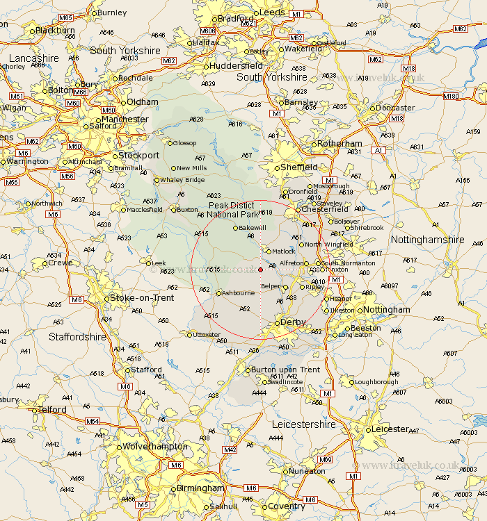
Derbyshire Map Showing Location of Wirksworth
Population: 4180
Area Size (ha): 97
District: Derbyshire Dales
Easting: 429022 Northing: 354129
Latitude: 53.08 Longitude: -1.57
 = Wirksworth
Area Size (ha): 97
District: Derbyshire Dales
Easting: 429022 Northing: 354129
Latitude: 53.08 Longitude: -1.57
= Wirksworth
This Wirksworth map below is supplied by Google. Use the tools in the top left corner to zoom into street level or zoom out for a road map, you may also need to zoom in to see Wirksworth on the map. Click and drag the map to move around. If the map fails to load try and refresh your browser or zoom in or out (+ or -).
Update - it seems Google no longer allow people to use their maps for free! This Wirksworth map sometimes loads and sometimes gives a error. I am working on a solution.
Closest 30 Towns or Cities to Wirksworth (Population over 500)
Cromford 1.86km Matlock Bath 3.03km Bonsall 3.88km Brassington 5.57km Crich 5.57km Matlock 5.99km Tansley 6.48km Ambergate 6.69km Ambergate Junction Station 6.69km Winster 7.87km Belper 8.69km Wingfield 8.91km South Wingfield 8.91km Darley Dale 9.54km Heage 9.58km Ashover 10.81km Swanwick 11.29km Holbrook 11.42km Stretton 11.45km Shirland 11.73km Alfreton 12.38km Ripley 12.45km Clay Cross 12.46km Youlgreave 12.85km Kilbourne 12.85km Kilburn 12.85km Kilbourn 12.85km Denby 13.38km Ashbourne 13.38km Morton 13.44km