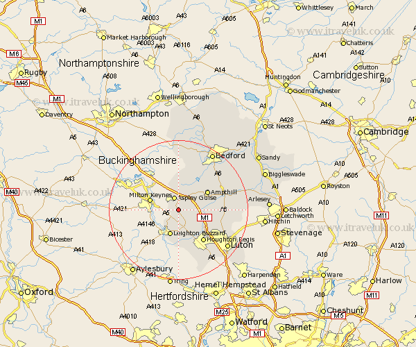
Bedfordshire Map Showing Location of Woburn
Population: 945
District: Mid Bedfordshire
Easting: 494990 Northing: 232599
Latitude: 51.98 Longitude: -0.62
 = Woburn
District: Mid Bedfordshire
Easting: 494990 Northing: 232599
Latitude: 51.98 Longitude: -0.62
= Woburn
This Woburn map below is supplied by Google. Use the tools in the top left corner to zoom into street level or zoom out for a road map, you may also need to zoom in to see Woburn on the map. Click and drag the map to move around. If the map fails to load try and refresh your browser or zoom in or out (+ or -).
Update - it seems Google no longer allow people to use their maps for free! This Woburn map sometimes loads and sometimes gives a error. I am working on a solution.
Closest 30 Towns or Cities to Woburn (Population over 500)
Aspley Guise 3.89km Heath and Reach 6.01km Lidlington 7.19km Leighton Buzzard 7.75km Hockliffe 7.75km Toddington 7.97km Marston Moretaine 8.71km Flitwick 9.32km Westoning 9.32km Cranfield 9.34km Stanbridge 9.54km Ampthill 9.73km Billington 11.18km Pulloxhill 11.41km Houghton Regis 11.52km Flitton 11.56km Maulden 12km Houghton Conquest 12.66km Sundon 12.67km Wootton 13.06km Dunstable 13.06km Eaton Bray 13.16km Streatley 13.74km Totternhoe 13.75km Silsoe 13.82km Clophill 14.19km Barton 14.19km Barton in the Clay 14.19km Haynes 15.57km Wilstead 15.6km