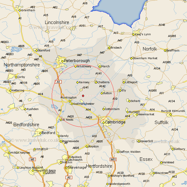
Cambridgeshire Map Showing Location of Woodhurst
Population: 327
District: Huntingdonshire
Easting: 531618 Northing: 276095
Latitude: 52.37 Longitude: -0.07
 = Woodhurst
District: Huntingdonshire
Easting: 531618 Northing: 276095
Latitude: 52.37 Longitude: -0.07
= Woodhurst
This Woodhurst map below is supplied by Google. Use the tools in the top left corner to zoom into street level or zoom out for a road map, you may also need to zoom in to see Woodhurst on the map. Click and drag the map to move around. If the map fails to load try and refresh your browser or zoom in or out (+ or -).
Update - it seems Google no longer allow people to use their maps for free! This Woodhurst map sometimes loads and sometimes gives a error. I am working on a solution.
Closest 30 Towns or Cities to Woodhurst (Population over 500)
Warboys 3.7km Wistow 4.34km Somersham 4.89km Wyton 5.03km Colne 5.66km Earith 5.96km Bluntisham 5.96km Bury 6km West Hemingford 6km Hemingford Abbots 6km Needingworth 6.52km Hemingford 6.52km Hemingford Grey 6.52km St. Ives 7.42km Fen Stanton 7.42km Saint Ives 7.42km St Ives 7.42km Over 7.93km Swavesey 8.69km Huntingdon 8.75km Godmanchester 8.78km Durolipons 8.78km Ramsey 9.86km Willingham 10.63km Hilton 11.35km Sutton 11.46km Chatteris 12.18km Long Stanton 12.2km Brampton 12.61km Brampton Grange 12.61km