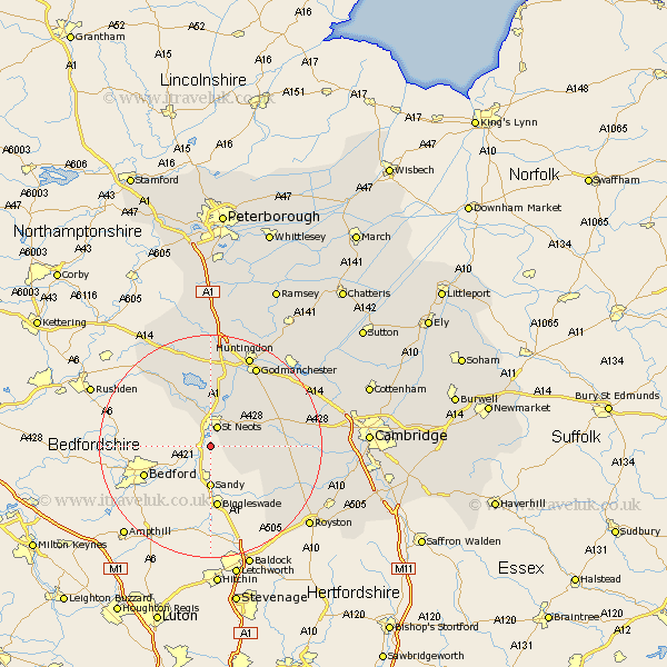
Cambridgeshire Map Showing Location of Wyboston
District: Huntingdonshire
Easting: 517352 Northing: 255332
Latitude: 52.18 Longitude: -0.28
 = Wyboston
Easting: 517352 Northing: 255332
Latitude: 52.18 Longitude: -0.28
= Wyboston
This Wyboston map below is supplied by Google. Use the tools in the top left corner to zoom into street level or zoom out for a road map, you may also need to zoom in to see Wyboston on the map. Click and drag the map to move around. If the map fails to load try and refresh your browser or zoom in or out (+ or -).
Update - it seems Google no longer allow people to use their maps for free! This Wyboston map sometimes loads and sometimes gives a error. I am working on a solution.
Closest 30 Towns or Cities to Wyboston (Population over 500)
Eaton Socon 3.71km St. Neots 3.88km Saint Neots 3.88km St Neots 3.88km Hail Weston 5.56km Little Paxton 7.75km Gamlingay 7.76km Great Paxton 8.69km Great Staughton 9.88km Great Gransden 10.23km Gransden 10.23km Buckden 11.35km Offord 12.48km Offord Cluny 12.48km Papworth Everard 12.64km Papworth 12.64km Grafham 12.97km Graffham 12.97km Kimbolton 14.65km Ellington 14.83km Guilden Morden 15.12km Brampton Grange 15.22km Brampton 15.22km Hilton 15.55km Bourn 15.91km Elsworth 16.52km Durolipons 16.82km Godmanchester 16.82km Spaldwick 17.02km Huntingdon 18.01km