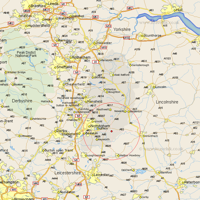
Nottinghamshire Map Showing Location of Bingham
Population: 6958
Area Size (ha): 170
District: Rushcliffe
Easting: 470566 Northing: 337873
Latitude: 52.93 Longitude: -0.95
 = Bingham
Area Size (ha): 170
District: Rushcliffe
Easting: 470566 Northing: 337873
Latitude: 52.93 Longitude: -0.95
= Bingham
This Bingham map below is supplied by Google. Use the tools in the top left corner to zoom into street level or zoom out for a road map, you may also need to zoom in to see Bingham on the map. Click and drag the map to move around. If the map fails to load try and refresh your browser or zoom in or out (+ or -).
Update - it seems Google no longer allow people to use their maps for free! This Bingham map sometimes loads and sometimes gives a error. I am working on a solution.
Closest 30 Towns or Cities to Bingham (Population over 500)
Cropwell 2.9km Cropwell Butler 2.9km East Bridgford 3.71km Cropwell Bishop 4.33km Aslockton 4.47km Aslocton 4.47km Barnstone 5km Radcliffe 5.58km Radcliffe on Trent 5.58km Radcliffe-on-Trent 5.58km Shelford 5.81km Flintham 6.49km Cotgrave 6.7km Burton Joyce 7.88km Colwick 9.13km Carlton 9.13km Tollerton 9.13km Kinoulton 9.53km Lambley 9.59km Elston 10.82km Bleasby 11.18km West Bridgeford 11.32km West Bridgford 11.32km Woodborough 12.12km Fiskerton 13.4km Fiskerton Ferry 13.4km Claverton 14.26km Calverton 14.26km Arnold 14.34km Ruddington 14.52km