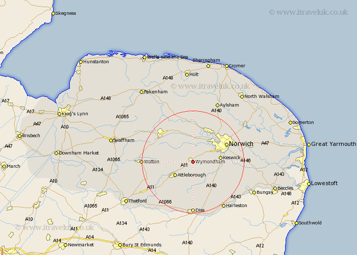
Norfolk Map Showing Location of Wymondham
Population: 10006
Area Size (ha): 306
District: South Norfolk
Easting: 611201 Northing: 301144
Latitude: 52.57 Longitude: 1.12
 = Wymondham
Area Size (ha): 306
District: South Norfolk
Easting: 611201 Northing: 301144
Latitude: 52.57 Longitude: 1.12
= Wymondham
This Wymondham map below is supplied by Google. Use the tools in the top left corner to zoom into street level or zoom out for a road map, you may also need to zoom in to see Wymondham on the map. Click and drag the map to move around. If the map fails to load try and refresh your browser or zoom in or out (+ or -).
Update - it seems Google no longer allow people to use their maps for free! This Wymondham map sometimes loads and sometimes gives a error. I am working on a solution.
Closest 30 Towns or Cities to Wymondham (Population over 500)
Hethersett 5.83km Ashwellthorpe 5.84km Besthorpe 7.92km Mulbarton 8.1km Attleborough 8.75km Swardeston 9.01km Hingham 9.2km Forncett Saint Mary 9.32km Forncett 9.32km Forncett St. Mary 9.32km Forncett St Mary 9.32km Bunwell 9.34km Cringleford 9.74km Old Buckenham 10.31km Saxlingham Thorpe 10.8km Saxlingham 10.8km Great Ellingham 10.8km Mattishall 10.84km Costessey 11.46km Hockering 11.62km Hellesdon 11.66km Taverham 11.99km Moulton Saint Michael 12km Moulton 12km Great Moulton 12km Moulton St. Michael 12km Moulton St Michael 12km Long Stratton 12.18km Stoke Holy Cross 12.53km Drayton 13.01km