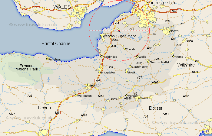
Somerset Map Showing Location of Yatton
Population: 6662
Area Size (ha): 152
Easting: 343173 Northing: 165288
Latitude: 51.38 Longitude: -2.82
 = Yatton
Area Size (ha): 152
Easting: 343173 Northing: 165288
Latitude: 51.38 Longitude: -2.82
= Yatton
This Yatton map below is supplied by Google. Use the tools in the top left corner to zoom into street level or zoom out for a road map, you may also need to zoom in to see Yatton on the map. Click and drag the map to move around. If the map fails to load try and refresh your browser or zoom in or out (+ or -).
Update - it seems Google no longer allow people to use their maps for free! This Yatton map sometimes loads and sometimes gives a error. I am working on a solution.
Closest 30 Towns or Cities to Yatton (Population over 500)
Congresbury 2.18km Wrington 3.93km Sandford 5.68km Churchill 5.68km Clevedon 6.02km Nailsea 6.55km Wick St. Lawrence 6.94km Wick Saint Lawrence 6.94km Wick St Lawrence 6.94km Locking 7.23km Banwell 8.18km Blagdon 8.9km Bourton 8.91km Flax Bourton 8.91km Shipham 9.33km Weston Down 9.35km Weston 9.35km Weston in Gordano 9.35km Wraxall 9.4km Portishead 9.9km Hutton 10.98km Axbridge 11.18km Winford 11.57km Portbury 11.58km Weston-Super-Mare 12.15km Long Ashton 12.83km Dundry 12.86km Weare 13.02km Bleadon 13.1km Chew Stoke 13.26km