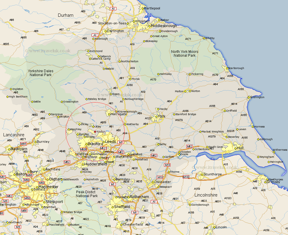
Yorkshire Map Showing Location of Yeadon
Population: 30590
Area Size (ha): 947
District: Leeds
Easting: 421917 Northing: 441239
Latitude: 53.87 Longitude: -1.67
 = Yeadon
Area Size (ha): 947
District: Leeds
Easting: 421917 Northing: 441239
Latitude: 53.87 Longitude: -1.67
= Yeadon
This Yeadon map below is supplied by Google. Use the tools in the top left corner to zoom into street level or zoom out for a road map, you may also need to zoom in to see Yeadon on the map. Click and drag the map to move around. If the map fails to load try and refresh your browser or zoom in or out (+ or -).
Update - it seems Google no longer allow people to use their maps for free! This Yeadon map sometimes loads and sometimes gives a error. I am working on a solution.
Closest 30 Towns or Cities to Yeadon (Population over 500)
Yeadon 0km Guiseley 3.28km Bramhope 3.76km Otley 3.86km Horsforth 4.31km Menston 4.74km Pool-in-Wharfedale 4.94km Pool 4.94km Poole 4.94km Arthington 5.73km Arthington Junction Station 5.73km Baildon 6.82km Shipley 7.54km Burley 7.79km Burley in Wharfedale 7.79km Weeton 8.59km Leeds 9.21km Pudsey 9.27km Bradford 10.77km Bingley 11.09km Ilkley 11.29km Harewood 11.53km Pannal 12.73km Scarcroft 14.21km Wilsden 14.25km East Keswick 15.14km Bardsey 15.41km Harrogate 15.63km Morley 15.81km Addingham 16.01km