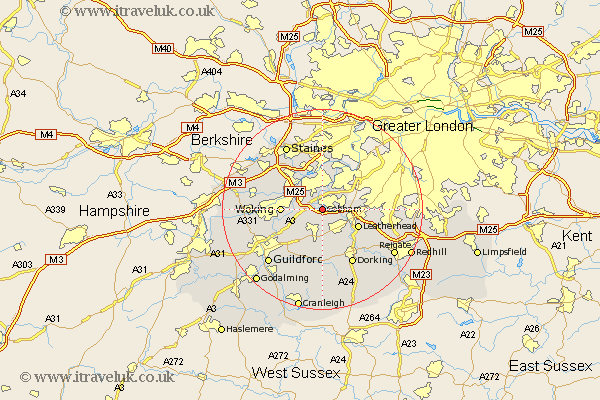
Surrey Map Showing Location of Church Cobham
Population: 14856
Area Size (ha): 826
District: Elmbridge
Easting: 510330 Northing: 158756
Latitude: 51.32 Longitude: -0.42
 = Church Cobham
Area Size (ha): 826
District: Elmbridge
Easting: 510330 Northing: 158756
Latitude: 51.32 Longitude: -0.42
= Church Cobham
This Church Cobham map below is supplied by Google. Use the tools in the top left corner to zoom into street level or zoom out for a road map, you may also need to zoom in to see Church Cobham on the map. Click and drag the map to move around. If the map fails to load try and refresh your browser or zoom in or out (+ or -).
Update - it seems Google no longer allow people to use their maps for free! This Church Cobham map sometimes loads and sometimes gives a error. I am working on a solution.
Closest 30 Towns or Cities to Church Cobham (Population over 500)
Byfleet 3.93km Oxshott 4.63km Esher 5.08km Claygate 5.93km Ripley 5.94km West Horsley 6.02km Weybridge 6.55km Addlestone 7.24km Walton 7.5km Walton upon Thames 7.5km East Horsley 7.51km Horsley 7.51km Effingham 7.51km Shepperton 7.76km Leatherhead 7.88km Woking 8.11km Ottershaw 8.91km Send 8.92km Lower Sunbury 9.33km Sunbury-on-Thames 9.33km Sunbury on Thames 9.33km Sunbury 9.33km Chertsey 9.4km West Clandon 9.41km Mickleham 10.17km Molesey 10.35km Westcott 12.05km Dorking 12.54km Chobham 12.87km St Martha 13.12km