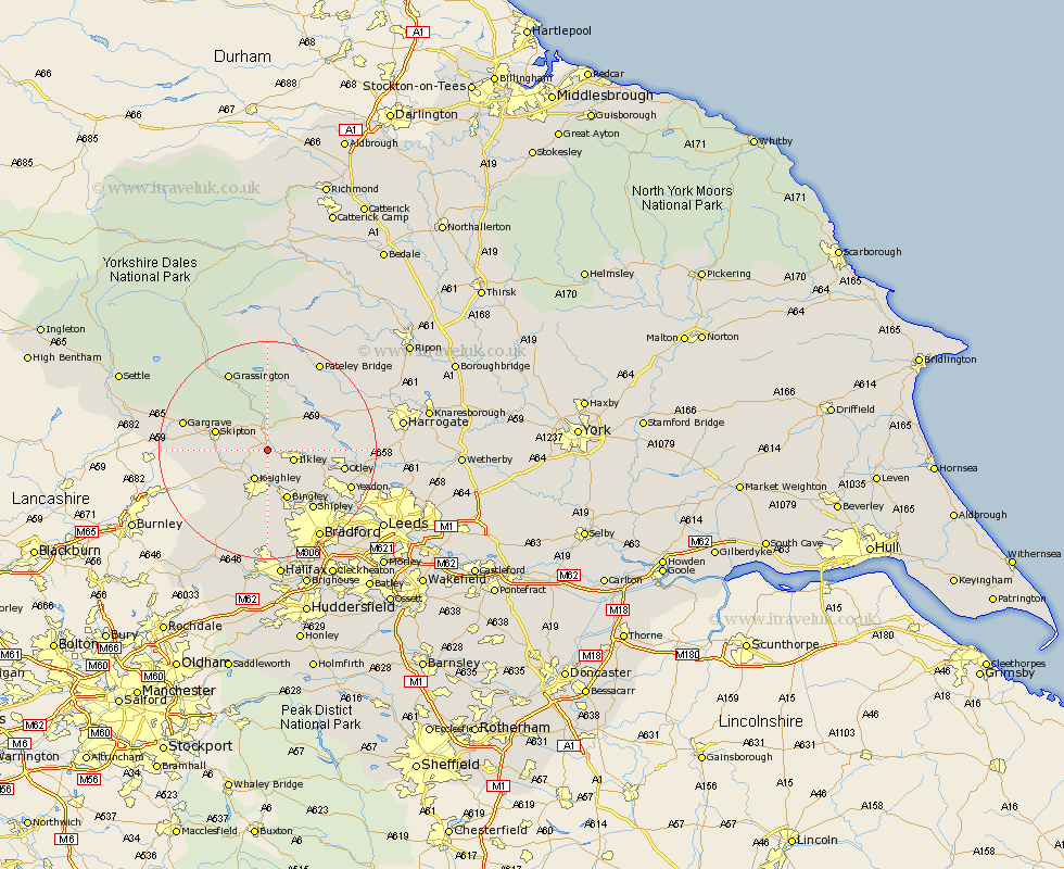
Yorkshire Map Showing Location of Addingham
Population: 2706
Area Size (ha): 67
District: Bradford
Easting: 407659 Northing: 448603
Latitude: 53.93 Longitude: -1.88
 = Addingham
Area Size (ha): 67
District: Bradford
Easting: 407659 Northing: 448603
Latitude: 53.93 Longitude: -1.88
= Addingham
This Addingham map below is supplied by Google. Use the tools in the top left corner to zoom into street level or zoom out for a road map, you may also need to zoom in to see Addingham on the map. Click and drag the map to move around. If the map fails to load try and refresh your browser or zoom in or out (+ or -).
Update - it seems Google no longer allow people to use their maps for free! This Addingham map sometimes loads and sometimes gives a error. I am working on a solution.
Closest 30 Towns or Cities to Addingham (Population over 500)
Ilkley 4.74km Silsden 4.94km Keighley 5.97km Steeton 7.07km Embsay 7.52km Glusburn 8.49km Sutton-in-Craven 8.59km Burley in Wharfedale 8.92km Burley 8.92km Cononley 8.92km Skipton 9.48km Bingley 9.82km Carleton 10.91km Carlton 10.91km Menston 11.29km Baildon 12.01km Wilsden 13.01km Cullingworth 13.01km Guiseley 13.19km Shipley 13.49km Otley 13.61km Haworth 13.68km Gargrave 15.23km Earby 15.39km Oxenhope 15.45km Threshfield 15.63km Yeadon 16.01km Grassington 16.21km Darley 16.35km Denholme 16.72km