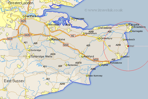
Kent Map Showing Location of Deal
Population: 27994
Area Size (ha): 630
District: Dover
Easting: 637410 Northing: 151940
Latitude: 51.22 Longitude: 1.4
 = Deal
Area Size (ha): 630
District: Dover
Easting: 637410 Northing: 151940
Latitude: 51.22 Longitude: 1.4
= Deal
This Deal map below is supplied by Google. Use the tools in the top left corner to zoom into street level or zoom out for a road map, you may also need to zoom in to see Deal on the map. Click and drag the map to move around. If the map fails to load try and refresh your browser or zoom in or out (+ or -).
Update - it seems Google no longer allow people to use their maps for free! This Deal map sometimes loads and sometimes gives a error. I am working on a solution.
Closest 30 Towns or Cities to Deal (Population over 500)
Sholden 1.16km Walmer 1.86km Mongeham 2.97km Great Mongeham 2.97km Kingsdown 3.71km Northbourne 4.64km Worth 5.08km Sandwich 6.56km Eastry 7.2km West Langdon 8.04km Langdon 8.04km Eythorne 8.94km Saint Margaret at Cliffe 9.42km St. Margaret at Cliffe 9.42km St. Margarets 9.42km St Margarets 9.42km Saint Margarets 9.42km St. Margaret's at Cliffe 9.42km St Margaret's at Cliffe 9.42km Saint Margaret's at Cliffe 9.42km St Margaret at Cliffe 9.42km Dover 10.48km Staple 11.08km Coldred 11.84km Ewell 11.89km Temple Ewell 11.89km Sibertswold 12.19km Shepherdswell 12.19km Minster 12.54km Lydden 12.82km