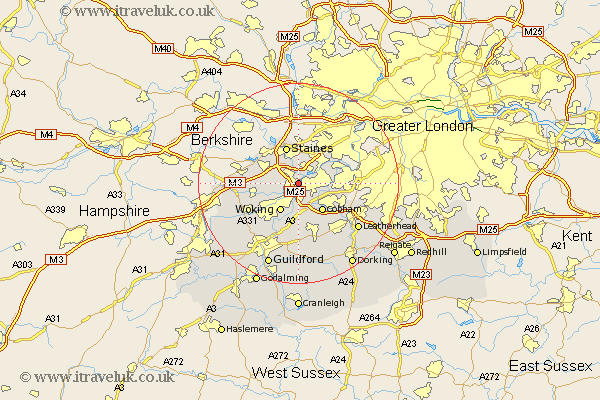
Surrey Map Showing Location of Addlestone
Population: 14369
Area Size (ha): 321
District: Runnymede
Easting: 505569 Northing: 164217
Latitude: 51.37 Longitude: -0.48
 = Addlestone
Area Size (ha): 321
District: Runnymede
Easting: 505569 Northing: 164217
Latitude: 51.37 Longitude: -0.48
= Addlestone
This Addlestone map below is supplied by Google. Use the tools in the top left corner to zoom into street level or zoom out for a road map, you may also need to zoom in to see Addlestone on the map. Click and drag the map to move around. If the map fails to load try and refresh your browser or zoom in or out (+ or -).
Update - it seems Google no longer allow people to use their maps for free! This Addlestone map sometimes loads and sometimes gives a error. I am working on a solution.
Closest 30 Towns or Cities to Addlestone (Population over 500)
Weybridge 1.16km Chertsey 2.18km Shepperton 2.96km Byfleet 3.89km Walton upon Thames 3.93km Walton 3.93km Ottershaw 3.94km Woking 6.55km Lower Sunbury 6.87km Sunbury 6.87km Sunbury on Thames 6.87km Sunbury-on-Thames 6.87km Church Cobham 7.24km Cobham 7.24km Staines 7.76km Egham 8.02km Esher 8.31km Virginia Water 8.9km Chobham 8.91km Ripley 9.27km Claygate 9.44km Send 9.9km Molesey 9.97km Oxshott 10.8km Bisley 11.06km West Horsley 11.36km Windlesham 11.57km Worplesdon 12.32km West Clandon 13.03km East Horsley 13.43km