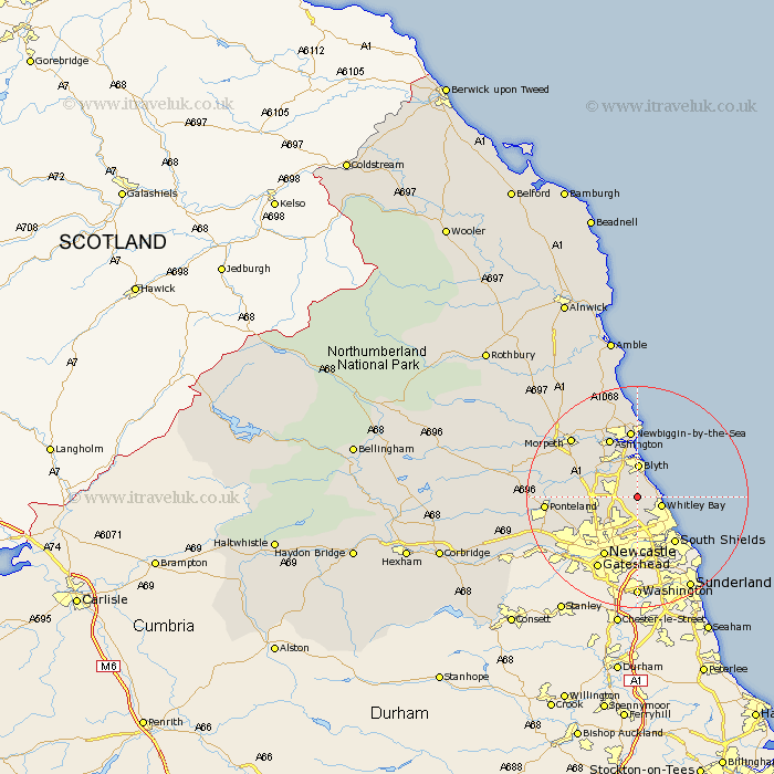
Northumberland Map Showing Location of Seaton Delaval
Population: 7193
Area Size (ha): 133
District: Blyth Valley
Easting: 430863 Northing: 574806
Latitude: 55.07 Longitude: -1.52
 = Seaton Delaval
Area Size (ha): 133
District: Blyth Valley
Easting: 430863 Northing: 574806
Latitude: 55.07 Longitude: -1.52
= Seaton Delaval
This Seaton Delaval map below is supplied by Google. Use the tools in the top left corner to zoom into street level or zoom out for a road map, you may also need to zoom in to see Seaton Delaval on the map. Click and drag the map to move around. If the map fails to load try and refresh your browser or zoom in or out (+ or -).
Update - it seems Google no longer allow people to use their maps for free! This Seaton Delaval map sometimes loads and sometimes gives a error. I am working on a solution.
Closest 30 Towns or Cities to Seaton Delaval (Population over 500)
Seghill 2.82km Seaton Sluice 3.01km Cramlington 4.24km Whitley 4.37km Whitley Bay 4.37km Shiremoor 4.56km Killingworth 4.89km Dudley 4.99km Blyth 5.99km Blythe 5.99km Tynemouth 6.68km North Shields 7.44km Longbenton 8.07km Long Benton 8.07km Bedlington 8.53km Wallsend on Tyne 8.81km Wallsend 8.81km Wallsend-on-Tyne 8.81km Gosforth 9.78km Stannington 10.24km South Shields 10.67km Dinnington 10.78km Ashington 11.68km Woolsington 11.99km Newcastle 12.33km Newcastle-on-Tyne 12.33km Newcastle on Tyne 12.33km Newcastle upon Tyne 12.33km Newbiggin by the Sea 12.33km Newbiggin-by-the-Sea 12.33km