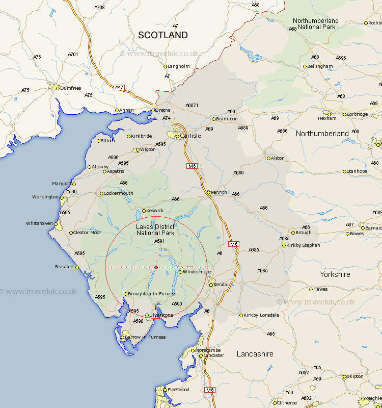
Cumbria Map Showing Location of High Yewdale
District: South Lakeland
Easting: 331814 Northing: 499169
Latitude: 54.38 Longitude: -3.05
 = High Yewdale
Easting: 331814 Northing: 499169
Latitude: 54.38 Longitude: -3.05
= High Yewdale
This High Yewdale map below is supplied by Google. Use the tools in the top left corner to zoom into street level or zoom out for a road map, you may also need to zoom in to see High Yewdale on the map. Click and drag the map to move around. If the map fails to load try and refresh your browser or zoom in or out (+ or -).
Update - it seems Google no longer allow people to use their maps for free! This High Yewdale map sometimes loads and sometimes gives a error. I am working on a solution.
Closest 30 Towns or Cities to High Yewdale (Population over 500)
Conistan 2.14km Coniston 2.14km Hawkshead 3.73km Ambleside 6.55km Windermere 8.83km Colton 12.97km Staveley 15.22km Haverthwaite 16.82km Ulverstone 20.64km Ulverston 20.64km Kendal 20.8km Kendall 20.8km Levens 22.78km Pennington 22.89km Holker 22.89km Lower Holker 22.89km Natland 23.35km Bootle 24.29km Koswick 24.48km Keswick 24.48km Askam 24.73km Askam in Furness 24.73km Millom 24.76km Heversham 24.82km Gosforth 24.89km Lindal in Furness 24.94km Lindal 24.94km Milnthorpe 26.1km Great Urswick 26.3km Arnside 26.31km