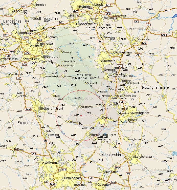
Derbyshire Map Showing Location of Yeaveley
Population: 263
District: Derbyshire Dales
Easting: 419034 Northing: 339252
Latitude: 52.95 Longitude: -1.72
 = Yeaveley
District: Derbyshire Dales
Easting: 419034 Northing: 339252
Latitude: 52.95 Longitude: -1.72
= Yeaveley
This Yeaveley map below is supplied by Google. Use the tools in the top left corner to zoom into street level or zoom out for a road map, you may also need to zoom in to see Yeaveley on the map. Click and drag the map to move around. If the map fails to load try and refresh your browser or zoom in or out (+ or -).
Update - it seems Google no longer allow people to use their maps for free! This Yeaveley map sometimes loads and sometimes gives a error. I am working on a solution.
Closest 30 Towns or Cities to Yeaveley (Population over 500)
Clifton 5.99km Brailsford 6.7km Ashbourne 7.5km Church Broughton 7.5km Doveridge 8.71km Sudbury 9.53km Kirk Langley 10.22km Scropton 11.12km Etwall 12.12km Burnaston 12.49km Quarndon 14.52km Derby 14.64km Egginton 15.15km Brassington 15.48km Duffield 15.74km Findern 16.58km Repton 17.13km Willington 17.13km Newton Solney 17.31km Holbrook 17.64km Little Eaton 17.87km Wirksworth 17.9km Breadsall 17.97km Burton upon Trent 17.98km Burton-on-Trent 17.98km Burton on Trent 17.98km Belper 19.13km Ambergate 19.17km Ambergate Junction Station 19.17km Cromford 19.46km