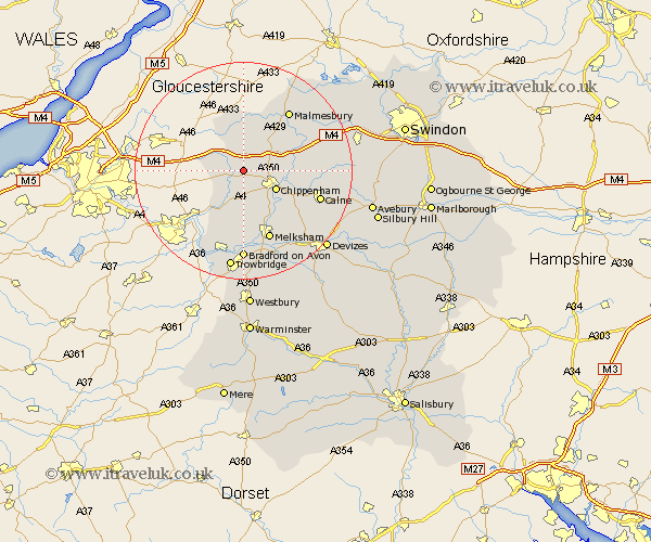
Wiltshire Map Showing Location of Yatton Keynell
Population: 745
District: North Wiltshire
Easting: 386113 Northing: 176111
Latitude: 51.48 Longitude: -2.2
 = Yatton Keynell
District: North Wiltshire
Easting: 386113 Northing: 176111
Latitude: 51.48 Longitude: -2.2
= Yatton Keynell
This Yatton Keynell map below is supplied by Google. Use the tools in the top left corner to zoom into street level or zoom out for a road map, you may also need to zoom in to see Yatton Keynell on the map. Click and drag the map to move around. If the map fails to load try and refresh your browser or zoom in or out (+ or -).
Update - it seems Google no longer allow people to use their maps for free! This Yatton Keynell map sometimes loads and sometimes gives a error. I am working on a solution.
Closest 30 Towns or Cities to Yatton Keynell (Population over 500)
Nettleton 4.98km Stanton Saint Quintin 5.92km Stanton St Quintin 5.92km Stanton 5.92km Stanton St. Quintin 5.92km Corsham 6.02km Hullavington 6.55km Chippenham 6.86km Colerne 7.23km Box 8.18km Luckington 8.18km Sutton Benger 8.29km Sherston 9.35km Christian Malford 10.55km Somerford 10.77km Great Somerford 10.77km Lacock 10.92km Laycock 10.92km Whitley 11.11km Atworth 11.12km Bremhill 12.13km Broughton Gifford 13.02km Lea 13.08km Malmsbury 13.74km Malmesbury 13.74km Melksham 13.76km Holt 14.82km Calne 14.93km Semington 15.22km Hillmarton 16.26km