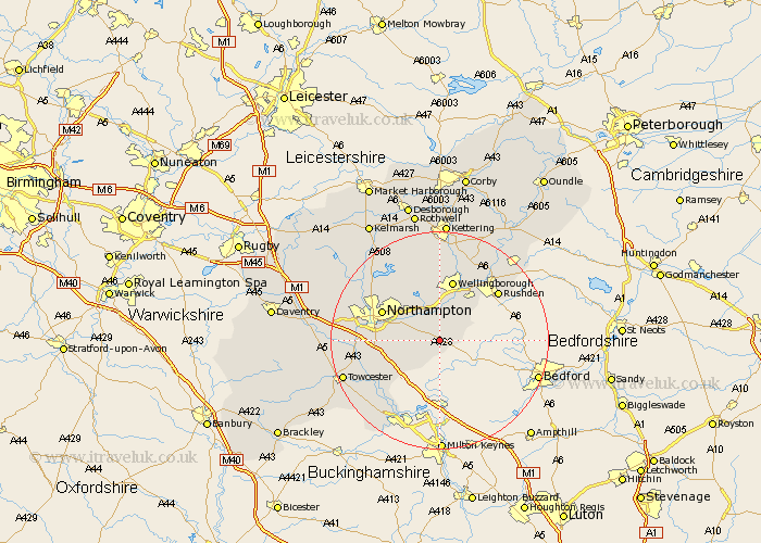
Northamptonshire Map Showing Location of Yardley Hastings
Population: 792
District: South Northamptonshire
Easting: 486559 Northing: 256552
Latitude: 52.2 Longitude: -0.73
 = Yardley Hastings
District: South Northamptonshire
Easting: 486559 Northing: 256552
Latitude: 52.2 Longitude: -0.73
= Yardley Hastings
This Yardley Hastings map below is supplied by Google. Use the tools in the top left corner to zoom into street level or zoom out for a road map, you may also need to zoom in to see Yardley Hastings on the map. Click and drag the map to move around. If the map fails to load try and refresh your browser or zoom in or out (+ or -).
Update - it seems Google no longer allow people to use their maps for free! This Yardley Hastings map sometimes loads and sometimes gives a error. I am working on a solution.
Closest 30 Towns or Cities to Yardley Hastings (Population over 500)
Denton 2.27km Whiston 3.87km Bozeat 4.91km Earls Barton 5.67km Hackleton 5.98km Houghton 7.06km Great Houghton 7.06km Wollaston 7.18km Wilby 7.5km Great Doddington 7.76km Doddington 7.76km Billing 7.95km Great Billing 7.95km Sywell 9.87km Irchester 10.07km Hardingstone 10.22km Wootton 10.39km Overstone 10.86km Hartwell 10.88km Wellingborough 11.35km Collingtree 11.51km Northampton 11.63km Roade 11.64km Moulton 12.2km Milton 12.63km Rushden 13.79km Blisworth 14.13km Boughton 14.65km Higham Ferrers 15.1km Pitsford 15.1km