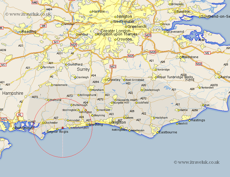
Sussex Map Showing Location of Yapton
Population: 4678
Area Size (ha): 103
District: Arun
Easting: 498647 Northing: 101045
Latitude: 50.8 Longitude: -0.6
 = Yapton
Area Size (ha): 103
District: Arun
Easting: 498647 Northing: 101045
Latitude: 50.8 Longitude: -0.6
= Yapton
This Yapton map below is supplied by Google. Use the tools in the top left corner to zoom into street level or zoom out for a road map, you may also need to zoom in to see Yapton on the map. Click and drag the map to move around. If the map fails to load try and refresh your browser or zoom in or out (+ or -).
Update - it seems Google no longer allow people to use their maps for free! This Yapton map sometimes loads and sometimes gives a error. I am working on a solution.
Closest 30 Towns or Cities to Yapton (Population over 500)
Ford 2.2km Middleton-on-Sea 2.2km Middleton 2.2km Middleton on Sea 2.2km Barnham 2.99km Westergate 3.28km Bognor Regis 3.59km Felpham 3.97km Bognor 3.97km Littlehampton 4.69km Eastergate 5.1km Walberton 5.68km Slindon 6.03km Bersted 6.14km Arundel 6.58km Rustington 7.03km Angmering 8.41km Oving 8.99km East Preston 9.55km Preston 9.55km Tangmere 9.9km Boxgrove 9.9km North Mundham 10.54km Mundham 10.54km West Ferring 10.54km Ferring 10.54km Kingston 10.71km Pagham 11.18km Bury 11.36km Donnington 12.88km