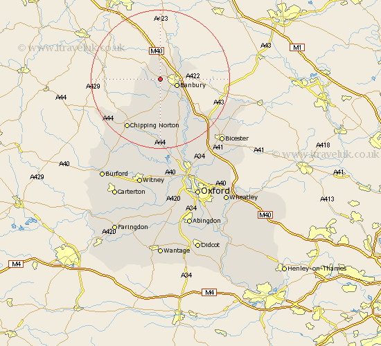
Oxfordshire Map Showing Location of Wroxton
Population: 530
District: Cherwell
Easting: 441124 Northing: 241141
Latitude: 52.07 Longitude: -1.4
 = Wroxton
District: Cherwell
Easting: 441124 Northing: 241141
Latitude: 52.07 Longitude: -1.4
= Wroxton
This Wroxton map below is supplied by Google. Use the tools in the top left corner to zoom into street level or zoom out for a road map, you may also need to zoom in to see Wroxton on the map. Click and drag the map to move around. If the map fails to load try and refresh your browser or zoom in or out (+ or -).
Update - it seems Google no longer allow people to use their maps for free! This Wroxton map sometimes loads and sometimes gives a error. I am working on a solution.
Closest 30 Towns or Cities to Wroxton (Population over 500)
Banbury 4.92km Cropredy 6.79km Bloxham 7.76km Wardington 8.79km Adderbury 9.35km Barford Saint John 9.55km Barford 9.55km Barford St John 9.55km Barford St. John 9.55km Hook Norton 10.89km Deddington 10.89km Duns Tew 15.52km Enstone 17.03km Chipping Norton 17.1km Fritwell 17.28km Upper Heyford 17.41km Barton 17.49km Steeple Aston 18.03km Ardley 19.43km Caversfield 21.8km Chadlington 21.9km Churchill 22.39km Charlbury 22.7km Tackley 22.96km Fringford 23.33km Kingham 23.74km Kirtlington 24.04km Woodstock 24.76km Chesterton 25.22km Bicester 25.23km