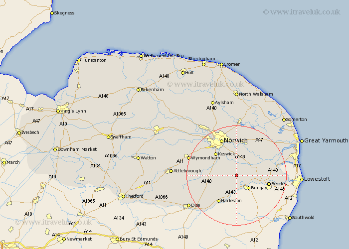
Norfolk Map Showing Location of Woodton
Population: 472
District: South Norfolk
Easting: 629614 Northing: 294543
Latitude: 52.5 Longitude: 1.38
 = Woodton
District: South Norfolk
Easting: 629614 Northing: 294543
Latitude: 52.5 Longitude: 1.38
= Woodton
This Woodton map below is supplied by Google. Use the tools in the top left corner to zoom into street level or zoom out for a road map, you may also need to zoom in to see Woodton on the map. Click and drag the map to move around. If the map fails to load try and refresh your browser or zoom in or out (+ or -).
Update - it seems Google no longer allow people to use their maps for free! This Woodton map sometimes loads and sometimes gives a error. I am working on a solution.
Closest 30 Towns or Cities to Woodton (Population over 500)
Ditchingham 5.02km Brooke 5.56km Hempnall 5.64km Loddon 5.94km Poringland 6km Earsham 6km Thurton 6.51km Ellingham 7.72km Stoke Holy Cross 7.92km Saxlingham Thorpe 8.72km Saxlingham 8.72km Chedgrave 8.72km Long Stratton 10.32km Mulbarton 11.57km Cantley 11.68km Swardeston 11.68km Forncett St. Mary 12.41km Forncett St Mary 12.41km Forncett 12.41km Forncett Saint Mary 12.41km Pulham 12.94km Thurlton 12.95km Harleston 13.02km Brundall 13.41km Reedham 13.59km Blofield 13.74km Ashwellthorpe 14.03km Moulton St Michael 14.04km Moulton 14.04km Moulton St. Michael 14.04km