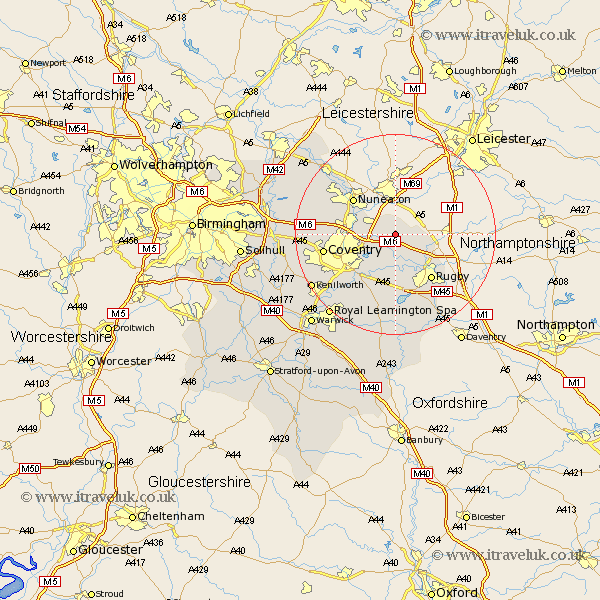
Warwickshire Map Showing Location of Withybrook
Population: 232
District: Rugby
Easting: 444169 Northing: 283800
Latitude: 52.45 Longitude: -1.35
 = Withybrook
District: Rugby
Easting: 444169 Northing: 283800
Latitude: 52.45 Longitude: -1.35
= Withybrook
This Withybrook map below is supplied by Google. Use the tools in the top left corner to zoom into street level or zoom out for a road map, you may also need to zoom in to see Withybrook on the map. Click and drag the map to move around. If the map fails to load try and refresh your browser or zoom in or out (+ or -).
Update - it seems Google no longer allow people to use their maps for free! This Withybrook map sometimes loads and sometimes gives a error. I am working on a solution.
Closest 30 Towns or Cities to Withybrook (Population over 500)
Shilton 3.39km Wolvey 3.87km Bulkington 4.88km Brinklow 5.56km Bedworth 8.12km Wolston 9.54km Brandon 9.86km Long Lawford 9.86km Nuneaton 10.84km Rugby 11.48km Clifton 11.69km Clifton upon Dunsmore 11.69km Clifton on Dunsmore 11.69km Clifton-on-Dunsmore 11.69km Keresley 12.56km Baginton 12.95km Corley 13.55km Dunchurch 13.74km Allesley 14.05km Coventry 14.05km Bubbenhall 15.2km Stoneleigh 15.86km Fillongley 15.92km Arley 16.75km Mancetter 17.19km Meriden 18.17km Atherstone 18.75km Kenilworth 19.34km Shustoke 19.98km Berkswell 20km