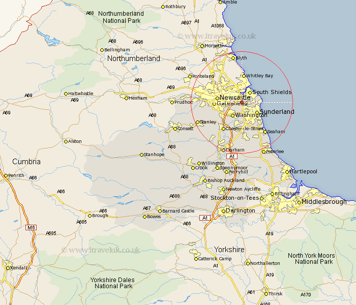
Durham Map Showing Location of Boldon
Population: 12157
Area Size (ha): 246
District: South Tyneside
Easting: 434155 Northing: 561844
Latitude: 54.95 Longitude: -1.47
 = Boldon
Area Size (ha): 246
District: South Tyneside
Easting: 434155 Northing: 561844
Latitude: 54.95 Longitude: -1.47
= Boldon
This Boldon map below is supplied by Google. Use the tools in the top left corner to zoom into street level or zoom out for a road map, you may also need to zoom in to see Boldon on the map. Click and drag the map to move around. If the map fails to load try and refresh your browser or zoom in or out (+ or -).
Update - it seems Google no longer allow people to use their maps for free! This Boldon map sometimes loads and sometimes gives a error. I am working on a solution.
Closest 30 Towns or Cities to Boldon (Population over 500)
Jarrow 3.55km Jarrow on Tyne 3.55km Jarrow-on-Tyne 3.55km Hebburn on Tyne 3.69km Hebburn-on-Tyne 3.69km Hebburn 3.69km Felling 5.99km Whitburn 6.27km Washington New Town 6.41km Washington 6.41km Marsden 6.65km Sunderland 6.8km Lamesley 9.29km Gateshead 9.65km Gateshead on Tyne 9.65km Gateshead-on-Tyne 9.65km Birtley 9.79km Houghton le Spring 11.12km Ouston 11.41km Ouston Moor 11.41km Pelton 12.59km Chester-le-Street 12.83km Whickham 13.96km Seaton 14.03km Hetton le Hole 14.86km West Rainton 14.98km Blaydon 15.01km Seaham 15.05km Seaham Harbour 15.05km Murton 15.16km