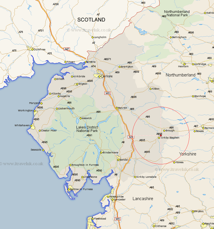
Cumbria Map Showing Location of Winton
Population: 213
District: Eden
Easting: 378406 Northing: 509838
Latitude: 54.48 Longitude: -2.33
 = Winton
District: Eden
Easting: 378406 Northing: 509838
Latitude: 54.48 Longitude: -2.33
= Winton
This Winton map below is supplied by Google. Use the tools in the top left corner to zoom into street level or zoom out for a road map, you may also need to zoom in to see Winton on the map. Click and drag the map to move around. If the map fails to load try and refresh your browser or zoom in or out (+ or -).
Update - it seems Google no longer allow people to use their maps for free! This Winton map sometimes loads and sometimes gives a error. I am working on a solution.
Closest 30 Towns or Cities to Winton (Population over 500)
Kirkby Stephen 2.14km Brough 4.29km Ravenstonedale 9.16km Appleby 13.4km Orton 15.19km Crosby Ravensworth 16.56km Long Marston 17.56km Long Marton 17.56km Tebay 17.78km Kirkby Thore 20.38km Shap 21.84km Milnthorpe 22km Millthrop 22km Sedbergh 22km Dent 25.24km Culgaith 25.28km Langwathby 30.92km Kendall 32.72km Kendal 32.72km Staveley 33.85km Natland 34.14km Kirkby Lonsdale 35.43km Kirkby Londsdale 35.43km Dacre 35.49km Lazonby 36.47km Lasonby 36.47km Levens 39.02km Greystoke 39.06km Kirkoswald 39.37km Heversham 39.51km