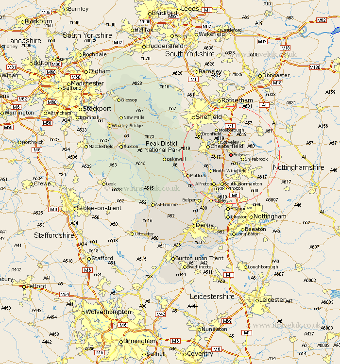
Derbyshire Map Showing Location of Bolsover
Population: 11632
Area Size (ha): 366
District: Bolsover
Easting: 447849 Northing: 369120
Latitude: 53.22 Longitude: -1.28
 = Bolsover
Area Size (ha): 366
District: Bolsover
Easting: 447849 Northing: 369120
Latitude: 53.22 Longitude: -1.28
= Bolsover
This Bolsover map below is supplied by Google. Use the tools in the top left corner to zoom into street level or zoom out for a road map, you may also need to zoom in to see Bolsover on the map. Click and drag the map to move around. If the map fails to load try and refresh your browser or zoom in or out (+ or -).
Update - it seems Google no longer allow people to use their maps for free! This Bolsover map sometimes loads and sometimes gives a error. I am working on a solution.
Closest 30 Towns or Cities to Bolsover (Population over 500)
Heath 3.81km Ault Hucknall 3.88km Elmton 4.32km Shirebrook 4.81km Creswell 5.78km Cresswell 5.78km Clowne 5.99km Staveley 7.11km Barlborough 7.41km Brimington 8.6km Whitwell 8.63km Pilsley 9.27km Chesterfield 9.62km Tibshelf 9.85km Wingerworth 10.16km North Wingfield 10.58km Eckington 10.79km Killamarsh 11.34km Morton 11.42km Clay Cross 11.57km Blackwell 11.61km Walton 12.21km Mosbrough 12.42km Mosborough 12.42km Unstone 12.43km Stretton 12.84km South Normanton 13.4km Shirland 13.57km Barlow 14.42km Ashover 14.44km