Durham Map Showing Location of Winlaton
District: Gateshead
Easting: 417070 Northing: 563604
Latitude: 54.97 Longitude: -1.73
 = Winlaton
Easting: 417070 Northing: 563604
Latitude: 54.97 Longitude: -1.73
= Winlaton
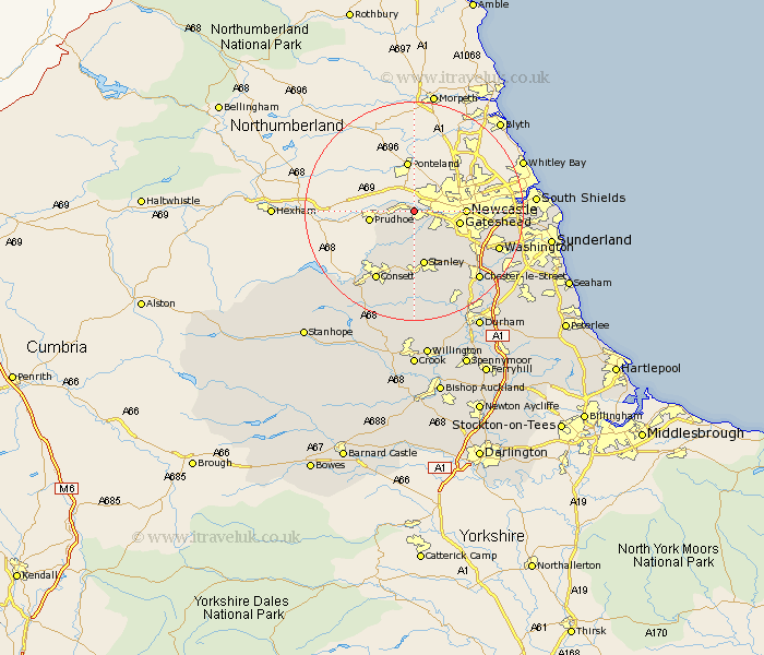
This Winlaton map below is supplied by Google. Use the tools in the top left corner to zoom into street level or zoom out for a road map, you may also need to zoom in to see Winlaton on the map. Click and drag the map to move around. If the map fails to load try and refresh your browser or zoom in or out (+ or -).
Update - it seems Google no longer allow people to use their maps for free! This Winlaton map sometimes loads and sometimes gives a error. I am working on a solution.
Closest 30 Towns or Cities to Winlaton (Population over 500)
Blaydon 2.13km Whickham 4.9km Rowlands Gill 5.56km Burnopfield 7.49km Gateshead-on-Tyne 7.78km Gateshead on Tyne 7.78km Gateshead 7.78km Lamesley 10.17km Stanley 10.47km Felling 11.14km Ouston Moor 11.68km Ouston 11.68km Leadgate 11.91km Annfield Plain 12.98km Hebburn on Tyne 13.83km Hebburn-on-Tyne 13.83km Hebburn 13.83km Pelton 14.01km Birtley 14.12km Consetti 14.46km Consett 14.46km Edmondsley 14.47km Washington 15.7km Washington New Town 15.7km Lanchester 16.68km Chester-le-Street 16.79km Castleside 17.11km Boldon 17.13km West Boldon 17.13km Jarrow-on-Tyne 18.1km