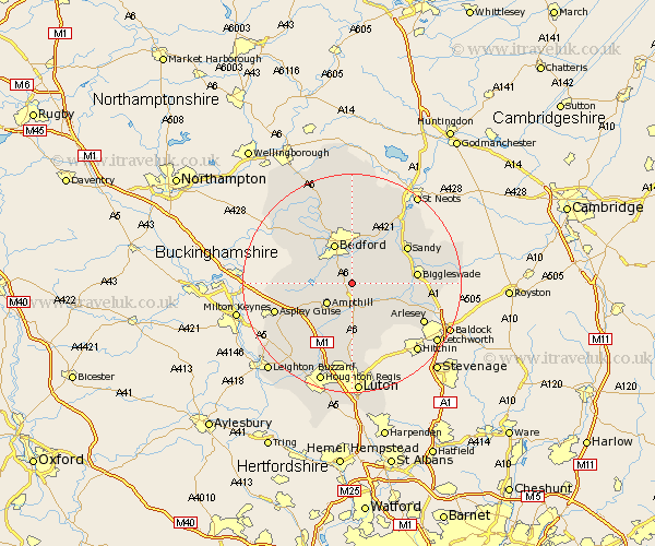
Bedfordshire Map Showing Location of Wilhamstead
Population: 2148
Area Size (ha): 56
District: Bedford
Easting: 507379 Northing: 242129
Latitude: 52.07 Longitude: -0.43
 = Wilhamstead
Area Size (ha): 56
District: Bedford
Easting: 507379 Northing: 242129
Latitude: 52.07 Longitude: -0.43
= Wilhamstead
This Wilhamstead map below is supplied by Google. Use the tools in the top left corner to zoom into street level or zoom out for a road map, you may also need to zoom in to see Wilhamstead on the map. Click and drag the map to move around. If the map fails to load try and refresh your browser or zoom in or out (+ or -).
Update - it seems Google no longer allow people to use their maps for free! This Wilhamstead map sometimes loads and sometimes gives a error. I am working on a solution.
Closest 30 Towns or Cities to Wilhamstead (Population over 500)
Haynes 2.18km Houghton Conquest 2.94km Elstow 4.35km Kempston 5.04km Maulden 5.67km Clophill 5.67km Ampthill 5.88km Campton and Chicksands 5.88km Wootton 5.99km Cople 6.53km Silsoe 7.5km Flitton 7.5km Shefford 7.78km Bedford 8.06km Flitwick 8.17km Marston Moretaine 8.19km Willington 8.69km Biddenham 8.69km Gravenhurst 8.71km Northill 8.79km Lidlington 8.8km Southill 9.3km Pulloxhill 9.34km Clifton 9.84km Clapham 9.87km Meppershall 10.09km Great Barford 10.87km Bromham 10.87km Blunham 10.88km Shillington 10.89km