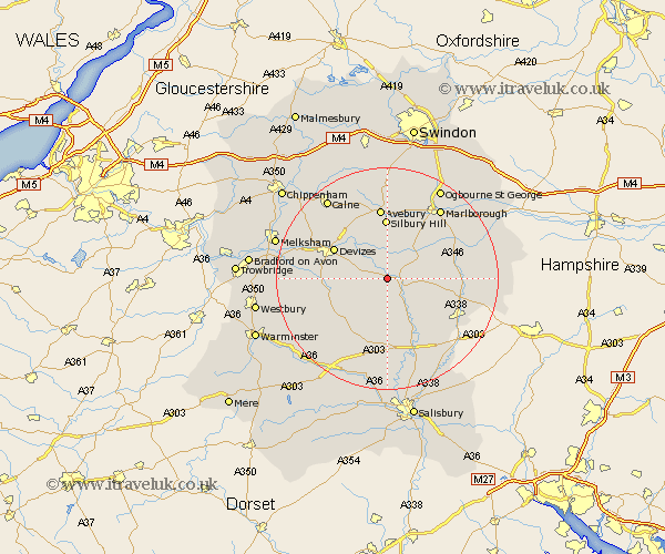
Wiltshire Map Showing Location of Wilsford
Population: 58
District: Kennet
Easting: 410456 Northing: 155719
Latitude: 51.3 Longitude: -1.85
 = Wilsford
District: Kennet
Easting: 410456 Northing: 155719
Latitude: 51.3 Longitude: -1.85
= Wilsford
This Wilsford map below is supplied by Google. Use the tools in the top left corner to zoom into street level or zoom out for a road map, you may also need to zoom in to see Wilsford on the map. Click and drag the map to move around. If the map fails to load try and refresh your browser or zoom in or out (+ or -).
Update - it seems Google no longer allow people to use their maps for free! This Wilsford map sometimes loads and sometimes gives a error. I am working on a solution.
Closest 30 Towns or Cities to Wilsford (Population over 500)
Upavon 2.97km Urchfont 5.79km Enford 6.56km Pewsey 7.87km Netheravon 8.75km Market Lavington 9.46km Lavington 9.46km Bishops Cannings 10.16km Figheldean 10.36km Devizes 10.81km Potterne 11.73km West Lavington 11.82km Roundway 11.87km Bulford 12.54km Lark Hill 13.18km Burbage 13.27km Shrewton 13.43km Rowde 13.9km Collingbourne Ducis 14.03km Durrington 14.21km Cherhill 14.72km North Tidworth 14.75km Tidworth 14.75km Worton 15.17km Erlestoke 15.18km Grafton 15.51km Amesbury 15.53km Marlborough 15.94km Seend 17.14km Edington 17.78km