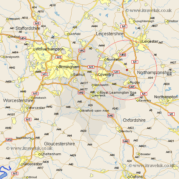
Warwickshire Map Showing Location of Willey
Population: 95
District: Rugby
Easting: 449832 Northing: 283854
Latitude: 52.45 Longitude: -1.27
 = Willey
District: Rugby
Easting: 449832 Northing: 283854
Latitude: 52.45 Longitude: -1.27
= Willey
This Willey map below is supplied by Google. Use the tools in the top left corner to zoom into street level or zoom out for a road map, you may also need to zoom in to see Willey on the map. Click and drag the map to move around. If the map fails to load try and refresh your browser or zoom in or out (+ or -).
Update - it seems Google no longer allow people to use their maps for free! This Willey map sometimes loads and sometimes gives a error. I am working on a solution.
Closest 30 Towns or Cities to Willey (Population over 500)
Wolvey 7.72km Brinklow 7.93km Clifton-on-Dunsmore 8.16km Clifton upon Dunsmore 8.16km Clifton on Dunsmore 8.16km Clifton 8.16km Shilton 9.04km Rugby 9.33km Long Lawford 9.53km Bulkington 10.33km Wolston 12.18km Brandon 12.95km Dunchurch 13.03km Bedworth 13.68km Nuneaton 15.44km Baginton 17.37km Keresley 18.17km Bubbenhall 18.78km Corley 19.2km Allesley 19.56km Coventry 19.56km Stoneleigh 20.28km Stockton 21.15km Mancetter 21.32km Fillongley 21.54km Long Itchington 21.87km Arley 22.16km Atherstone 23.15km Southam 23.61km Meriden 23.8km