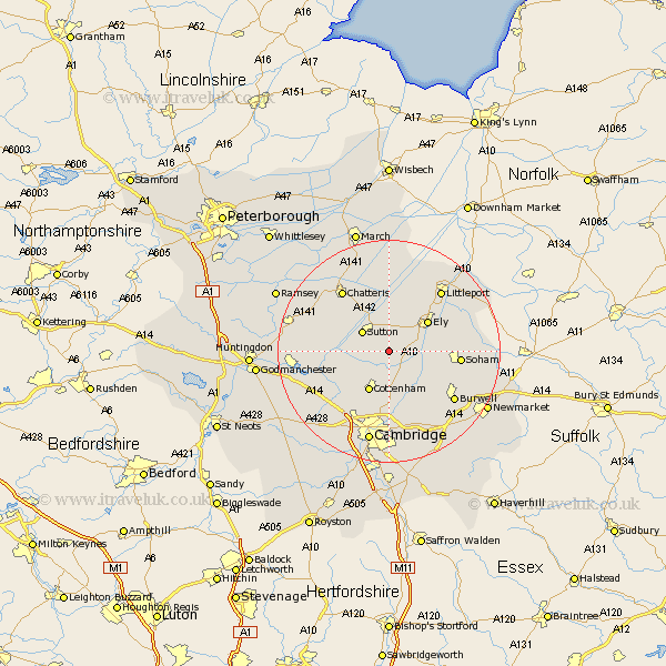
Cambridgeshire Map Showing Location of Wilburton
Population: 1231
District: East Cambridgeshire
Easting: 547556 Northing: 274688
Latitude: 52.35 Longitude: 0.17
 = Wilburton
District: East Cambridgeshire
Easting: 547556 Northing: 274688
Latitude: 52.35 Longitude: 0.17
= Wilburton
This Wilburton map below is supplied by Google. Use the tools in the top left corner to zoom into street level or zoom out for a road map, you may also need to zoom in to see Wilburton on the map. Click and drag the map to move around. If the map fails to load try and refresh your browser or zoom in or out (+ or -).
Update - it seems Google no longer allow people to use their maps for free! This Wilburton map sometimes loads and sometimes gives a error. I am working on a solution.
Closest 30 Towns or Cities to Wilburton (Population over 500)
Haddenham 1.13km Stretham 3.87km Witchford 4.34km Sutton 5.85km Mepal 6.51km Willingham 7.74km Cottenham 8.15km Ely 8.78km Bluntisham 10.19km Earith 10.19km Colne 10.35km Wicken 10.63km Over 10.84km Downham 10.85km Long Stanton 10.86km Waterbeach 11.18km Oakington 11.49km Somersham 11.91km Histon 12.01km Soham 12.59km Swavesey 12.62km Needingworth 12.99km Milton 13.02km Chatteris 13.65km Girton 14.16km Littleport 14.34km Swaffham Prior 14.35km Burwell 14.63km Manea 14.87km Swaffham Bulbeck 15.21km