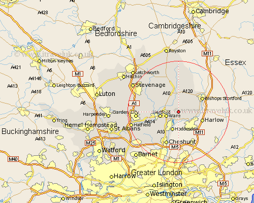
Hertfordshire Map Showing Location of Widford
Population: 507
District: East Hertfordshire
Easting: 540138 Northing: 215123
Latitude: 51.82 Longitude: 0.03
 = Widford
District: East Hertfordshire
Easting: 540138 Northing: 215123
Latitude: 51.82 Longitude: 0.03
= Widford
This Widford map below is supplied by Google. Use the tools in the top left corner to zoom into street level or zoom out for a road map, you may also need to zoom in to see Widford on the map. Click and drag the map to move around. If the map fails to load try and refresh your browser or zoom in or out (+ or -).
Update - it seems Google no longer allow people to use their maps for free! This Widford map sometimes loads and sometimes gives a error. I am working on a solution.
Closest 30 Towns or Cities to Widford (Population over 500)
Widford 0km Stanstead Abbots 3.89km Thundridge 3.9km Ware 4.95km Much Hadham 5.05km Great Amwell 5.06km Little Amwell 5.9km Hertford 7.12km Standon 7.41km Hoddesdon 7.76km Little Munden 7.98km Sawbridgeworth 8.02km Little Hadham 8.16km Thorley 8.83km Braughing 9.33km Stapleford 9.35km Albury 9.88km Watton 9.88km Watton at Stone 9.88km Hertingfordbury 9.89km Bishop's Stortford 10.72km Bishops Strotford 10.72km Bishops Stortford 10.72km Bennington 11.78km Benington 11.78km Harmer Green 12.1km Tewin 12.6km Datchworth 13.13km Cheshunt 13.76km Aston 14.61km