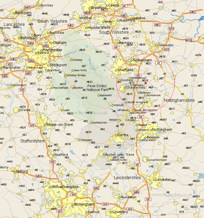
Derbyshire Map Showing Location of Whitwell
Population: 3969
Area Size (ha): 96
District: Bolsover
Easting: 452219 Northing: 376575
Latitude: 53.28 Longitude: -1.22
 = Whitwell
Area Size (ha): 96
District: Bolsover
Easting: 452219 Northing: 376575
Latitude: 53.28 Longitude: -1.22
= Whitwell
This Whitwell map below is supplied by Google. Use the tools in the top left corner to zoom into street level or zoom out for a road map, you may also need to zoom in to see Whitwell on the map. Click and drag the map to move around. If the map fails to load try and refresh your browser or zoom in or out (+ or -).
Update - it seems Google no longer allow people to use their maps for free! This Whitwell map sometimes loads and sometimes gives a error. I am working on a solution.
Closest 30 Towns or Cities to Whitwell (Population over 500)
Clowne 2.89km Cresswell 3.7km Creswell 3.7km Elmton 4.32km Barlborough 4.43km Killamarsh 7.61km Bolsover 8.63km Staveley 9.06km Shirebrook 9.26km Eckington 10.14km Mosbrough 10.64km Mosborough 10.64km Heath 12.09km Ault Hucknall 12.43km Brimington 12.74km Chesterfield 13.81km Unstone 14.4km Dronfield 16.72km Wingerworth 17.14km Barlow 17.83km Pilsley 17.87km Walton 18.21km Tibshelf 18.4km North Wingfield 18.99km Brampton 19.65km Old Brampton 19.65km Clay Cross 19.93km Holmesfield 19.94km Morton 20.03km Blackwell 20.09km