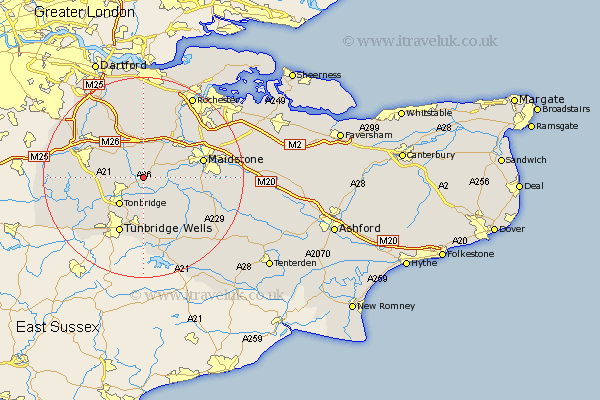
Kent Map Showing Location of West Peckham
Population: 327
District: Tonbridge and Malling
Easting: 564044 Northing: 150915
Latitude: 51.23 Longitude: 0.35
 = West Peckham
District: Tonbridge and Malling
Easting: 564044 Northing: 150915
Latitude: 51.23 Longitude: 0.35
= West Peckham
This West Peckham map below is supplied by Google. Use the tools in the top left corner to zoom into street level or zoom out for a road map, you may also need to zoom in to see West Peckham on the map. Click and drag the map to move around. If the map fails to load try and refresh your browser or zoom in or out (+ or -).
Update - it seems Google no longer allow people to use their maps for free! This West Peckham map sometimes loads and sometimes gives a error. I am working on a solution.
Closest 30 Towns or Cities to West Peckham (Population over 500)
Hadlow 2.18km Mereworth 2.19km Plaxtol 3.95km East Peckham 4.37km Wateringbury 5km Offham 5.68km Yalding 6.09km Addington 6.56km Borough Green 6.56km West Malling 6.56km East Malling 6.89km Tonbridge 7.24km Paddock Wood 7.76km Ryarsh 7.77km Wrotham 7.77km Barming 8.33km East Barming 8.33km Hildenborough 8.93km Hunton 10km Aylesford 10.82km Seal 10.82km Leigh 10.83km Snodland 10.94km Kemsing 11km Sevenoaks 11.08km Ridley 11.36km Pembury 11.36km Loose 11.6km Brenchley 11.65km Weald 11.75km