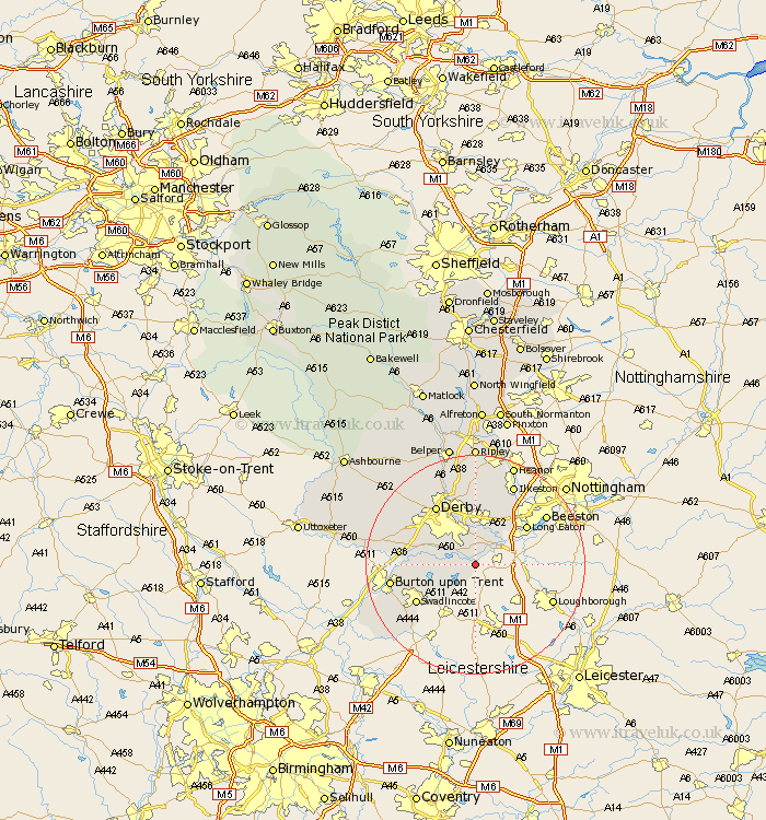
Derbyshire Map Showing Location of Weston Upon Trent
Population: 1105
District: South Derbyshire
Easting: 440417 Northing: 326402
Latitude: 52.83 Longitude: -1.4
 = Weston Upon Trent
District: South Derbyshire
Easting: 440417 Northing: 326402
Latitude: 52.83 Longitude: -1.4
= Weston Upon Trent
This Weston Upon Trent map below is supplied by Google. Use the tools in the top left corner to zoom into street level or zoom out for a road map, you may also need to zoom in to see Weston Upon Trent on the map. Click and drag the map to move around. If the map fails to load try and refresh your browser or zoom in or out (+ or -).
Update - it seems Google no longer allow people to use their maps for free! This Weston Upon Trent map sometimes loads and sometimes gives a error. I am working on a solution.
Closest 30 Towns or Cities to Weston Upon Trent (Population over 500)
Melbourne 2.9km Shardlow 3.84km Ticknall 6.71km Borrowash 7.5km Sawley 7.67km Findern 9.15km Willington 10.08km Repton 10.08km Hartshorn 10.79km Hartshorne 10.79km Risley 10.83km Dale Abbey 11.61km Breadsall 11.61km Long Eaton 11.62km Sandiacre 12.14km Woodville 12.14km Newton Solney 12.46km Burnaston 12.5km Swadlincote 12.51km Derby 12.99km West Hallam 13.4km Little Eaton 13.4km Egginton 13.44km Bretby 13.52km Etwall 13.93km Gresley 14.54km Church Gresley 14.54km Quarndon 14.61km Burton upon Trent 15.02km Burton-on-Trent 15.02km