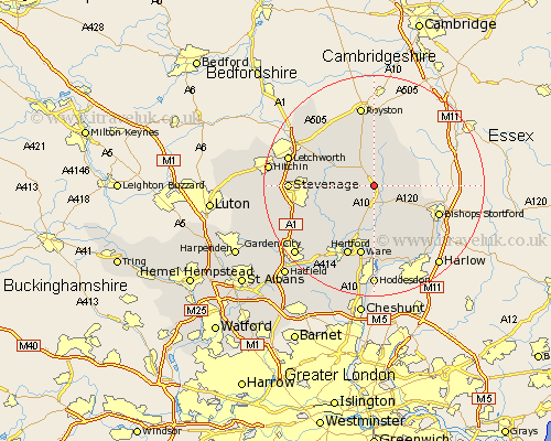
Hertfordshire Map Showing Location of Westmill
Population: 264
District: East Hertfordshire
Easting: 537535 Northing: 226179
Latitude: 51.92 Longitude: -0
 = Westmill
District: East Hertfordshire
Easting: 537535 Northing: 226179
Latitude: 51.92 Longitude: -0
= Westmill
This Westmill map below is supplied by Google. Use the tools in the top left corner to zoom into street level or zoom out for a road map, you may also need to zoom in to see Westmill on the map. Click and drag the map to move around. If the map fails to load try and refresh your browser or zoom in or out (+ or -).
Update - it seems Google no longer allow people to use their maps for free! This Westmill map sometimes loads and sometimes gives a error. I am working on a solution.
Closest 30 Towns or Cities to Westmill (Population over 500)
Braughing 2.18km Buntingford 3.87km Hormead 4.35km Standon 4.36km Cottered 6km Albury 6.01km Little Munden 6.53km Little Hadham 6.82km Benington 7.8km Bennington 7.8km Walkern 9.14km Barkway 9.33km Thundridge 9.34km Much Hadham 9.37km Watton at Stone 10.1km Watton 10.1km Aston 10.94km Widford 11.35km Stapleford 11.54km Therfield 11.63km Weston 12.01km Datchworth 12.69km Thorley 12.69km Bishops Stortford 12.72km Bishops Strotford 12.72km Bishop's Stortford 12.72km Barley 13.16km Ware 13.18km Hertford 13.76km Graveley 13.84km