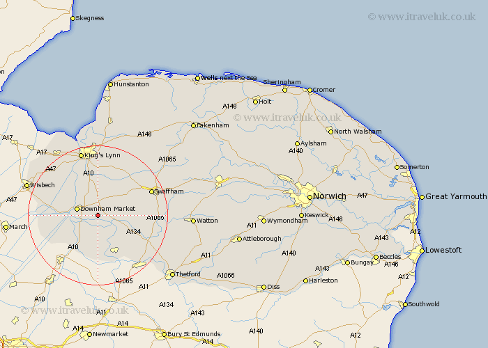
Norfolk Map Showing Location of West Dereham
Population: 440
District: King's Lynn and West Norfolk
Easting: 565969 Northing: 301246
Latitude: 52.58 Longitude: 0.45
 = West Dereham
District: King's Lynn and West Norfolk
Easting: 565969 Northing: 301246
Latitude: 52.58 Longitude: 0.45
= West Dereham
This West Dereham map below is supplied by Google. Use the tools in the top left corner to zoom into street level or zoom out for a road map, you may also need to zoom in to see West Dereham on the map. Click and drag the map to move around. If the map fails to load try and refresh your browser or zoom in or out (+ or -).
Update - it seems Google no longer allow people to use their maps for free! This West Dereham map sometimes loads and sometimes gives a error. I am working on a solution.
Closest 30 Towns or Cities to West Dereham (Population over 500)
Wereham 2.25km Stoke Ferry 4.87km Hilgay 5.01km Denver 5.63km Downham Market 5.93km Shouldham 7.75km Runcton 8.15km Runcton Holme 8.15km Southery 8.67km Methwold 10.03km Marham 10.03km Watlington 10.31km Northwold 10.79km Feltwell 12.47km North Runcton 13.03km Narborough 14.3km Middleton 14.88km Outwell 15.1km Welney 15.42km Upwell 15.87km Hockwold 16.29km Hockwold cum Wilton 16.29km Mundford 16.39km Swaffham 16.4km Tilney 16.46km Tilney St. Lawrence 16.46km Tilney St Lawrence 16.46km Tilney Saint Lawrence 16.46km East Winch 17.02km Emneth 17.77km