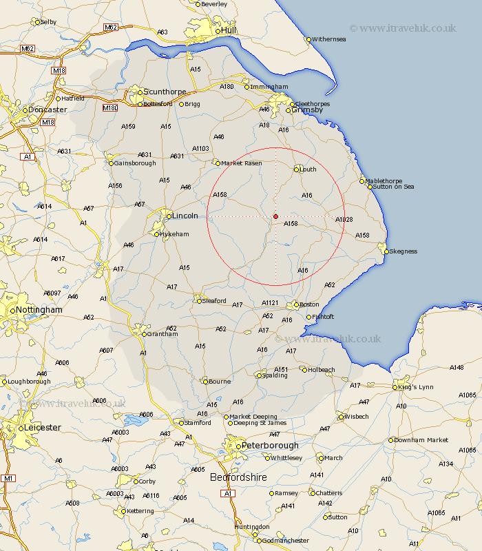
Lincolnshire Map Showing Location of West Ashby
Population: 252
District: East Lindsey
Easting: 526802 Northing: 372411
Latitude: 53.23 Longitude: -0.1
 = West Ashby
District: East Lindsey
Easting: 526802 Northing: 372411
Latitude: 53.23 Longitude: -0.1
= West Ashby
This West Ashby map below is supplied by Google. Use the tools in the top left corner to zoom into street level or zoom out for a road map, you may also need to zoom in to see West Ashby on the map. Click and drag the map to move around. If the map fails to load try and refresh your browser or zoom in or out (+ or -).
Update - it seems Google no longer allow people to use their maps for free! This West Ashby map sometimes loads and sometimes gives a error. I am working on a solution.
Closest 30 Towns or Cities to West Ashby (Population over 500)
Banovallum 3.87km Horncastle 3.87km Mareham 5.99km Mareham on the Hill 5.99km Mareham-on-the-Hill 5.99km Woodhall Spa 12.09km Coningsby 13.71km Wragby 14.42km Spilsby 14.43km Bardney 14.54km Legbourne 14.94km Louth 15.83km Tattershall 16.25km Carrington 17.01km Holton 17.2km Stickney 18.4km Alford 18.95km Grimoldby 19.2km Manby 19.92km Willoughby 20.06km Martin 20.25km Billinghay 20.68km Cherry Willingham 21.74km Potter Hanworth 21.81km Dunston 22.03km Reepham 22.19km Fiskerton 22.19km Nocton 22.35km Frithville 22.68km Market Rasen 22.77km