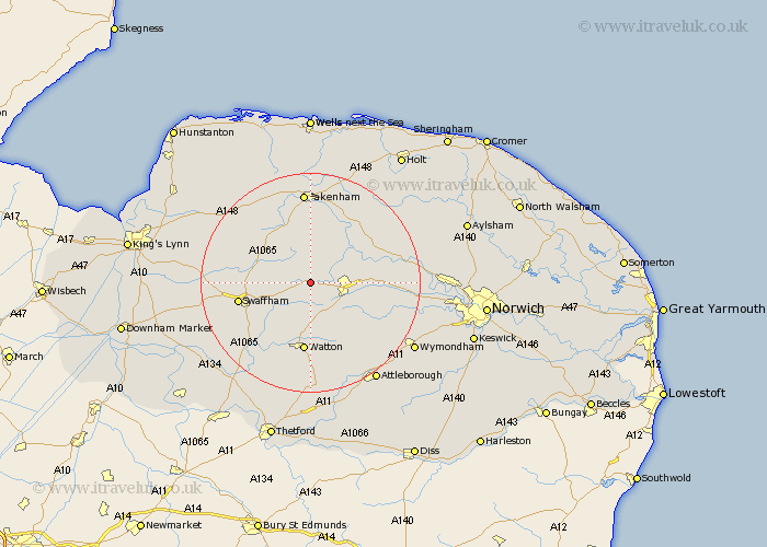
Norfolk Map Showing Location of Wendling
Population: 323
District: Breckland
Easting: 592621 Northing: 313361
Latitude: 52.68 Longitude: 0.85
 = Wendling
District: Breckland
Easting: 592621 Northing: 313361
Latitude: 52.68 Longitude: 0.85
= Wendling
This Wendling map below is supplied by Google. Use the tools in the top left corner to zoom into street level or zoom out for a road map, you may also need to zoom in to see Wendling on the map. Click and drag the map to move around. If the map fails to load try and refresh your browser or zoom in or out (+ or -).
Update - it seems Google no longer allow people to use their maps for free! This Wendling map sometimes loads and sometimes gives a error. I am working on a solution.
Closest 30 Towns or Cities to Wendling (Population over 500)
Litcham 5.01km Mileham 5.56km East Dereham 5.62km Dereham 5.62km Necton 5.82km Beetley 5.83km Palgrave 8.08km Great Palgrave 8.08km Shipdham 8.14km Yaxham 8.7km North Elmham 8.73km Ashill 9.86km Carbrooke 11.34km Carbooke 11.34km Castle Acre 11.38km Swaffham 12.91km Mattishall 12.91km Colkirk 12.98km Watton 13.01km Bawdeswell 13.54km Hingham 14.3km Hockering 14.72km Griston 14.87km Lyng 15.06km Massingham 15.44km Great Massingham 15.44km Ryburgh 15.5km Great Ryburgh 15.5km Foulsham 15.8km Foulham 15.8km