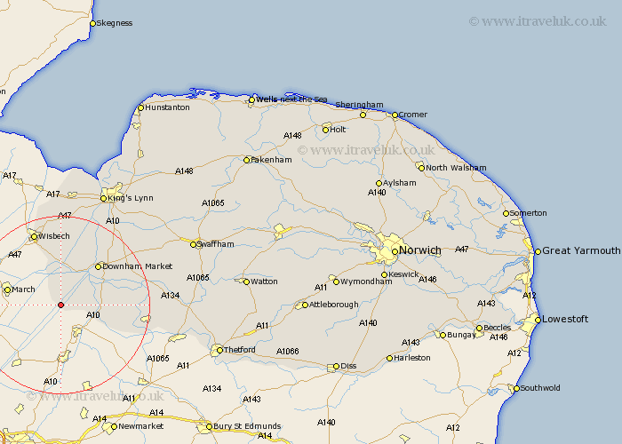
Norfolk Map Showing Location of Welney
Population: 528
District: King's Lynn and West Norfolk
Easting: 552654 Northing: 293399
Latitude: 52.52 Longitude: 0.25
 = Welney
District: King's Lynn and West Norfolk
Easting: 552654 Northing: 293399
Latitude: 52.52 Longitude: 0.25
= Welney
This Welney map below is supplied by Google. Use the tools in the top left corner to zoom into street level or zoom out for a road map, you may also need to zoom in to see Welney on the map. Click and drag the map to move around. If the map fails to load try and refresh your browser or zoom in or out (+ or -).
Update - it seems Google no longer allow people to use their maps for free! This Welney map sometimes loads and sometimes gives a error. I am working on a solution.
Closest 30 Towns or Cities to Welney (Population over 500)
Welney 0km Southery 9.02km Upwell 9.53km Hilgay 10.8km Denver 10.82km Outwell 11.18km Downham Market 12.16km Emneth 13.4km Walsoken 17.28km Wereham 17.43km Runcton Holme 17.95km Runcton 17.95km Stoke Ferry 18.87km Watlington 18.96km Feltwell 19.54km Methwold 20.3km Tilney St Lawrence 20.66km Tilney 20.66km Tilney Saint Lawrence 20.66km Tilney St. Lawrence 20.66km Walton 21.14km West Walton 21.14km Hockwold cum Wilton 21.63km Hockwold 21.63km Shouldham 21.64km North Runcton 23.85km Northwold 23.96km Walpole 24.11km Marham 25.11km Weeting 25.91km