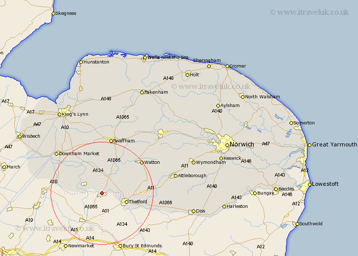
Norfolk Map Showing Location of Weeting
Population: 1705
Area Size (ha): 64
District: Breckland
Easting: 577795 Northing: 286821
Latitude: 52.45 Longitude: 0.62
 = Weeting
Area Size (ha): 64
District: Breckland
Easting: 577795 Northing: 286821
Latitude: 52.45 Longitude: 0.62
= Weeting
This Weeting map below is supplied by Google. Use the tools in the top left corner to zoom into street level or zoom out for a road map, you may also need to zoom in to see Weeting on the map. Click and drag the map to move around. If the map fails to load try and refresh your browser or zoom in or out (+ or -).
Update - it seems Google no longer allow people to use their maps for free! This Weeting map sometimes loads and sometimes gives a error. I am working on a solution.
Closest 30 Towns or Cities to Weeting (Population over 500)
Hockwold cum Wilton 4.52km Hockwold 4.52km Mundford 6km Feltwell 6.75km Methwold 8.68km Thetford 9.77km Northwold 11.18km Stoke Ferry 14.64km Wereham 17.35km Southery 17.45km Hilgay 18.4km Hockham 18.9km Harling 19.56km Watton 19.58km Griston 20.25km Ashill 20.79km East Harling 21.54km Rockland St. Peter 22.32km Rockland Saint Peter 22.32km Rockland 22.32km Rockland St Peter 22.32km Denver 22.49km Swaffham 22.5km Marham 22.69km Carbrooke 23.35km Carbooke 23.35km Downham Market 23.75km Garboldisham 23.79km Shouldham 24km Quidenham 24.85km