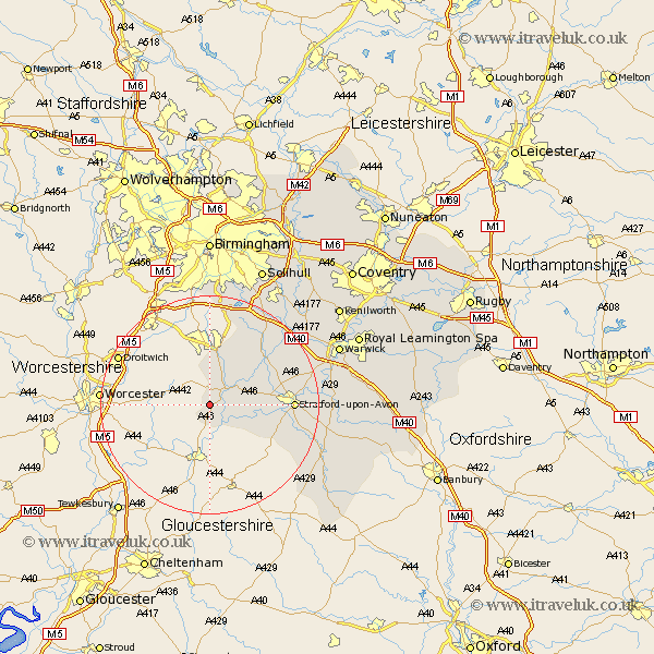
Warwickshire Map Showing Location of Weethley
Population: 17
District: Stratford-on-Avon
Easting: 405696 Northing: 253942
Latitude: 52.18 Longitude: -1.92
 = Weethley
District: Stratford-on-Avon
Easting: 405696 Northing: 253942
Latitude: 52.18 Longitude: -1.92
= Weethley
This Weethley map below is supplied by Google. Use the tools in the top left corner to zoom into street level or zoom out for a road map, you may also need to zoom in to see Weethley on the map. Click and drag the map to move around. If the map fails to load try and refresh your browser or zoom in or out (+ or -).
Update - it seems Google no longer allow people to use their maps for free! This Weethley map sometimes loads and sometimes gives a error. I am working on a solution.
Closest 30 Towns or Cities to Weethley (Population over 500)
Salford Priors 4.34km Alcester 5.04km Great Alne 7.76km Studley 9.55km Aston Cantlow 9.7km Wootton Wawen 12.63km Snitterfield 13.67km Bearley 13.67km Quinton 14.54km Ullenhall 14.65km Stratford upon Avon 14.77km Stratford 14.77km Stratford-on-Avon 14.77km Stratford-upon-Avon 14.77km Stratford on Avon 14.77km Henley in Arden 15.1km Claverdon 17.43km Ilmington 19.42km Lapworth 20.18km Rowington 20.92km Shrewley 21.4km Barford 22.28km Ettington 22.31km Eatington 22.31km Hatton 22.32km Wellesbourne 22.73km Wellesbourne Hastings 22.73km Warwick 25.28km Shipston on Stour 25.28km Shipston-on-Stour 25.28km