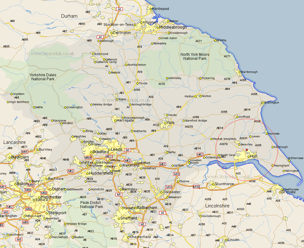
Yorkshire Map Showing Location of Wawne
Population: 878
Easting: 508659 Northing: 435030
Latitude: 53.8 Longitude: -0.35
 = Wawne
Easting: 508659 Northing: 435030
Latitude: 53.8 Longitude: -0.35
= Wawne
This Wawne map below is supplied by Google. Use the tools in the top left corner to zoom into street level or zoom out for a road map, you may also need to zoom in to see Wawne on the map. Click and drag the map to move around. If the map fails to load try and refresh your browser or zoom in or out (+ or -).
Update - it seems Google no longer allow people to use their maps for free! This Wawne map sometimes loads and sometimes gives a error. I am working on a solution.
Closest 30 Towns or Cities to Wawne (Population over 500)
Woodmansey 2.87km Sutton 2.87km Sutton on Hull 2.87km Sutton-on-Hull 2.87km Cottingham 2.87km Hull 4.94km Beverley 5.73km Skirlaugh Station 6.82km Willerby 7.54km Tickton 7.73km Skidby 7.88km Kirk Ella 8.61km Anlaby 9.22km Kingston upon Hull 9.33km Leven 9.52km Leckonfield 9.9km Leconfield 9.9km Bishop Burton 10.52km Preston 10.53km Hessle 10.76km Sproatley 11.1km Swanland 11.48km Paull 12.03km Cherry Burton 12.32km Hedon 13.23km Brandesburton 13.38km Brandsburton 13.38km Ferriby 13.53km North Ferriby 13.53km Barton 14.08km