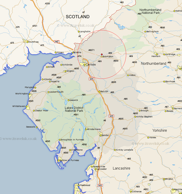
Cumbria Map Showing Location of Walton
Population: 278
District: Carlisle
Easting: 353056 Northing: 563818
Latitude: 54.97 Longitude: -2.73
 = Walton
District: Carlisle
Easting: 353056 Northing: 563818
Latitude: 54.97 Longitude: -2.73
= Walton
This Walton map below is supplied by Google. Use the tools in the top left corner to zoom into street level or zoom out for a road map, you may also need to zoom in to see Walton on the map. Click and drag the map to move around. If the map fails to load try and refresh your browser or zoom in or out (+ or -).
Update - it seems Google no longer allow people to use their maps for free! This Walton map sometimes loads and sometimes gives a error. I am working on a solution.
Closest 30 Towns or Cities to Walton (Population over 500)
Brampton 1.86km Irthington 4.28km Farlam 6.41km Hayton 7.49km Wetheral 12.33km Stanwix 14.77km Longtown 15.34km Carlisle 15.79km Rockcliffe 16.39km Rockcliff 16.39km Ainstable 18.54km Burgh-by-Sands 20.98km Burgh by Sands 20.98km Burgh 20.98km Dalston 21.81km Kirkoswald 22.34km Thursby 25.1km Lazonby 26.04km Lasonby 26.04km Wigton 30.49km Skelton 30.86km Bowness-on-Solway 30.91km Bowness on Solway 30.91km Kirkbride 31.23km Hesket Newmarket 31.66km Langwathby 31.8km Westward 32.72km Caldbeck 32.93km Culgaith 36.24km Greystoke 36.24km