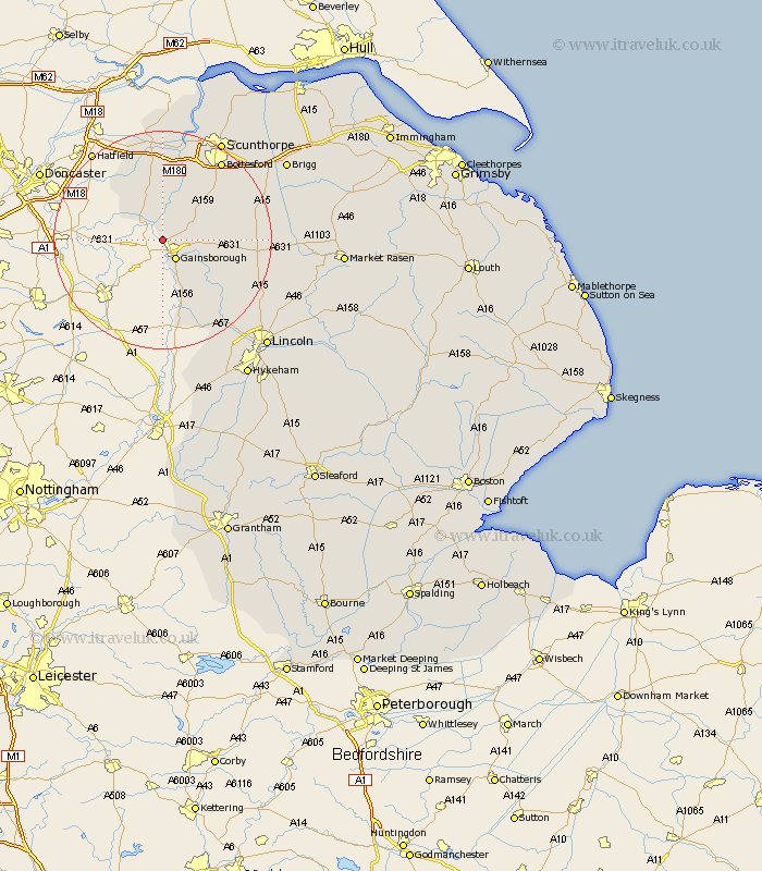
Lincolnshire Map Showing Location of Walkerith
Population: 59
District: West Lindsey
Easting: 479745 Northing: 391798
Latitude: 53.42 Longitude: -0.8
 = Walkerith
District: West Lindsey
Easting: 479745 Northing: 391798
Latitude: 53.42 Longitude: -0.8
= Walkerith
This Walkerith map below is supplied by Google. Use the tools in the top left corner to zoom into street level or zoom out for a road map, you may also need to zoom in to see Walkerith on the map. Click and drag the map to move around. If the map fails to load try and refresh your browser or zoom in or out (+ or -).
Update - it seems Google no longer allow people to use their maps for free! This Walkerith map sometimes loads and sometimes gives a error. I am working on a solution.
Closest 30 Towns or Cities to Walkerith (Population over 500)
Morton 2.16km Gainsborough 4.32km Gainesborough 4.32km Blyton 5.82km Lea 6.47km Owston 7.73km Owston Ferry 7.73km Haxey 7.73km Willingham 10.72km Epworth 11.17km Scotton 11.38km Scotter 11.52km Marton 11.97km Kirton 14.37km Kirton in Lindsey 14.37km Belton 14.86km West Butterwick 15.19km Torksey 15.48km Messingham 16.33km Burringham 17.01km Ingham 17.1km Bottesford 17.84km Gunness 19.04km Gunhouse 19.04km Waddingham 19.13km Saxilby 19.43km Hibaldstow 19.94km Scampton 20.2km Scrampton 20.2km Crowle 20.41km