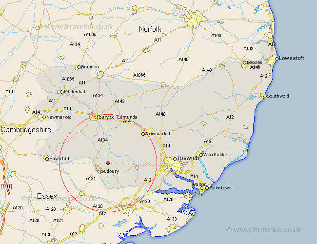
Suffolk Map Showing Location of Great Waldingfield
Population: 1457
District: Babergh
Easting: 590756 Northing: 244627
Latitude: 52.07 Longitude: 0.78
 = Great Waldingfield
District: Babergh
Easting: 590756 Northing: 244627
Latitude: 52.07 Longitude: 0.78
= Great Waldingfield
This Great Waldingfield map below is supplied by Google. Use the tools in the top left corner to zoom into street level or zoom out for a road map, you may also need to zoom in to see Great Waldingfield on the map. Click and drag the map to move around. If the map fails to load try and refresh your browser or zoom in or out (+ or -).
Update - it seems Google no longer allow people to use their maps for free! This Great Waldingfield map sometimes loads and sometimes gives a error. I am working on a solution.
Closest 30 Towns or Cities to Great Waldingfield (Population over 500)
Lavenham 3.87km Great Cornard 3.88km Long Melford 4.56km Sudbury 5.05km Boxford 7.96km Glemsford 8.79km Cockfield 9.26km Hitcham 9.72km Bildeston 9.83km Lawshall 9.87km Cavendish 10.42km Polstead 10.9km Hadleigh 11.55km Layham 13.72km Clare 13.79km Rattlesden 14.65km Great Bricett 14.75km Bradfield Saint George 14.87km Bradfield 14.87km Bradfield St. George 14.87km Bradfield St George 14.87km Great Finborough 15.12km Finborough 15.12km Ringshall 15.54km Hundon 16.37km Rushbrooke 16.72km Chedburgh 17.25km Wickhambrook 17.46km Hintlesham 18.33km Woolpit 18.48km