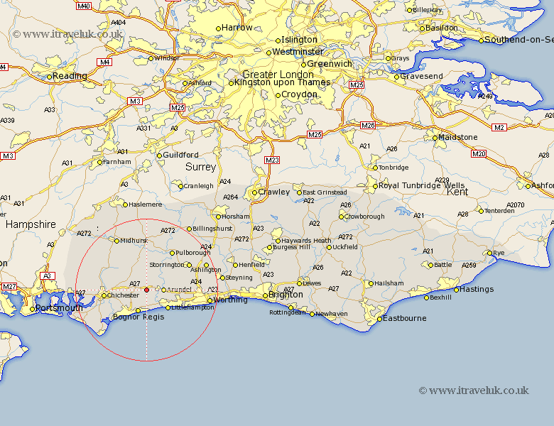
Sussex Map Showing Location of Walberton
Population: 1941
District: Arun
Easting: 497369 Northing: 106582
Latitude: 50.85 Longitude: -0.62
 = Walberton
District: Arun
Easting: 497369 Northing: 106582
Latitude: 50.85 Longitude: -0.62
= Walberton
This Walberton map below is supplied by Google. Use the tools in the top left corner to zoom into street level or zoom out for a road map, you may also need to zoom in to see Walberton on the map. Click and drag the map to move around. If the map fails to load try and refresh your browser or zoom in or out (+ or -).
Update - it seems Google no longer allow people to use their maps for free! This Walberton map sometimes loads and sometimes gives a error. I am working on a solution.
Closest 30 Towns or Cities to Walberton (Population over 500)
Slindon 1.17km Eastergate 2.99km Westergate 3.83km Barnham 3.88km Ford 4.38km Arundel 4.68km Yapton 5.68km Bury 6.57km Bognor Regis 6.73km Tangmere 7.02km Boxgrove 7.02km Oving 7.26km Middleton 7.42km Middleton-on-Sea 7.42km Middleton on Sea 7.42km Bognor 7.78km Felpham 7.78km Littlehampton 8.07km Bersted 8.77km Amberley 9.44km Rustington 9.9km Angmering 10.07km Graffham 10.38km Mundham 10.89km North Mundham 10.89km Coldwaltham 10.95km Fittleworth 11.66km Lavant 11.7km Chichester 11.85km East Preston 12.89km