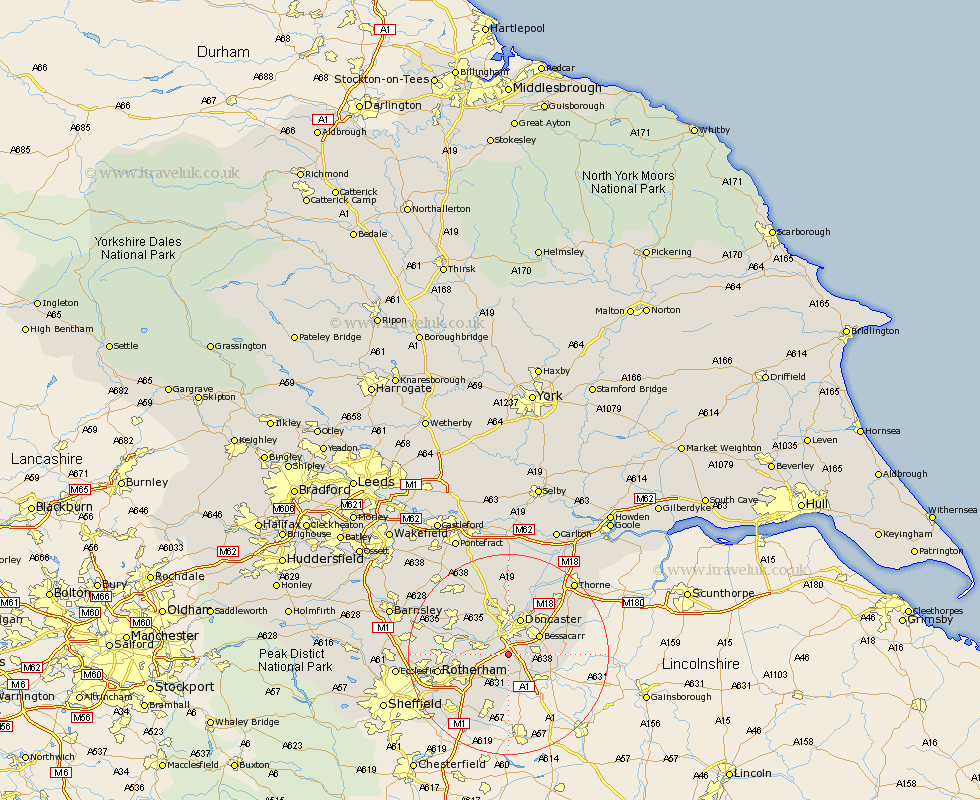
Yorkshire Map Showing Location of Wadworth
Population: 1229
District: Doncaster
Easting: 456420 Northing: 397026
Latitude: 53.47 Longitude: -1.15
 = Wadworth
District: Doncaster
Easting: 456420 Northing: 397026
Latitude: 53.47 Longitude: -1.15
= Wadworth
This Wadworth map below is supplied by Google. Use the tools in the top left corner to zoom into street level or zoom out for a road map, you may also need to zoom in to see Wadworth on the map. Click and drag the map to move around. If the map fails to load try and refresh your browser or zoom in or out (+ or -).
Update - it seems Google no longer allow people to use their maps for free! This Wadworth map sometimes loads and sometimes gives a error. I am working on a solution.
Closest 30 Towns or Cities to Wadworth (Population over 500)
Warmsworth 4.31km Conisborough 4.41km Conisbrough 4.41km Sprotboro 4.97km Sprotbrough 4.97km Braithwell 4.98km Rossington 5.52km Tickhill 5.98km Maltby 6.47km Bessacarr 6.84km Bentley 7.41km Cantley 7.58km Doncaster 7.73km Mexborough 7.94km Bramley 9.52km Bawtry 9.52km Auckley 9.57km Armthorpe 9.93km Thrybergh 10.1km Kirk Sandall 10.26km Wickersley 10.44km Austerfield 10.6km Fleckney 10.7km Finningley 11.03km Swinton 11.18km Adwick le Street 11.34km Carcroft 11.34km Anston 11.54km Dinnington 11.6km Brodsworth 12.05km