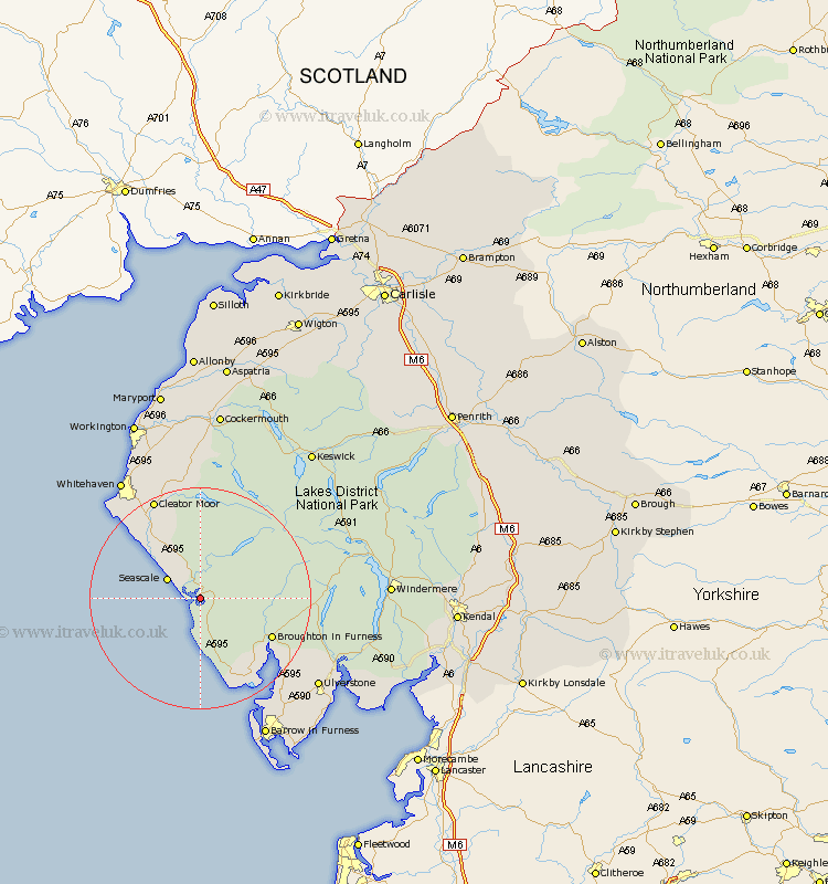
Cumbria Map Showing Location of Waberthwaite
Population: 274
District: Copeland
Easting: 309013 Northing: 495859
Latitude: 54.35 Longitude: -3.4
 = Waberthwaite
District: Copeland
Easting: 309013 Northing: 495859
Latitude: 54.35 Longitude: -3.4
= Waberthwaite
This Waberthwaite map below is supplied by Google. Use the tools in the top left corner to zoom into street level or zoom out for a road map, you may also need to zoom in to see Waberthwaite on the map. Click and drag the map to move around. If the map fails to load try and refresh your browser or zoom in or out (+ or -).
Update - it seems Google no longer allow people to use their maps for free! This Waberthwaite map sometimes loads and sometimes gives a error. I am working on a solution.
Closest 30 Towns or Cities to Waberthwaite (Population over 500)
Gosforth 5.96km Seascale 6.55km Bootle 9.51km Egremont 15.01km Millom 18.79km Cleator Moor 20.01km Frizington 21.08km Conistan 21.68km Coniston 21.68km Saint Bees 21.79km Saint Bega 21.79km St. Bees 21.79km St Bega 21.79km St Bees 21.79km St. Bega 21.79km Askam 22.03km Askam in Furness 22.03km Lamplugh 24.1km Colton 24.52km Pennington 25.37km Ulverston 25.64km Ulverstone 25.64km Whitehaven 25.72km Hawkshead 25.98km Lindal 26.06km Lindal in Furness 26.06km Parton 26.85km Dalton 26.91km Dalton in Furness 26.91km Distington 27.34km